WALK INTO IRELAND’S ANCIENT PAST
Dingle Way:
Dunquin to
Cuas
Pass towering sea cliffs, hidden beaches, and ancient Ogham stones,
with time for a bracing Atlantic swim.
Sea Cliffs,
Ancient Ogham
Stones, & Atlantic
Views
Trail at a Glance
TIME
6-8 hours
Approximate
DIFFICULTY
Moderate to hard
due to distance
DISTANCE
25 km (15.5 miles)
Point to point
ELEVATION
~308 meters (1010 ft)
Approximate
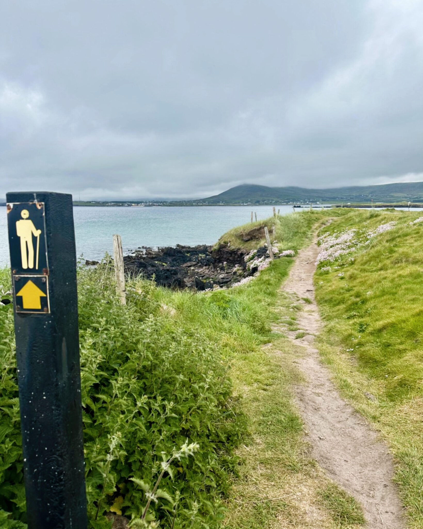
Quick Trail Notes
Location
County Kerry, Starting in Dunquin and ending in Cuas.
The route includes rough tracks, muddy moorland, sandy beaches, fields, and rural roads. It is not wheelchair accessible or suitable for standard strollers.
Facilities
There is parking and restrooms available at the Blasket Centre in Dunquin. There are no public restrooms, cafes, or petrol stations on this stretch of the Dingle Way. The endpoint in Cuas is very remote, though there is a well-known local pub, An Bóthar, nearby.
Water Availability
Potable water is available in the villages at either end of the trail. Carry enough water for the hike, as refill opportunities are limited along the route.
Cell Service
Intermittent. You may lose reception on some of the remote, low-lying cliff sections.
Dogs
Not recommended. Much of the trail crosses active farmland where dogs are either prohibited or may disturb livestock.
Maps
Official Ordnance Survey Ireland (OSi) Discovery Series Maps 70 and 71 are recommended. Digital maps are also available on AllTrails and in Dingle Way guidebooks.
Best Time to Hike
April through September offers the longest days and generally the best weather, although the trail is open year-round.
The trail is free to hike. Optional luggage transfer services, guided tours, and accommodations are available for an additional cost.
What to Bring
Waterproof hiking boots, layered rain gear, gaiters (some sections can be very muddy), a paper or downloaded map, a fully charged phone, a power bank, a small first aid kit, a packed lunch, and plenty of drinking water.
Read Along the Route
Pair this hike with Irish Fairy Tales and Folklore by W. B. Yeats to enrich your journey through the Dingle Peninsula’s ancient ruins, windswept cliffs, and legendary landscapes with the myths and folklore that have shaped Ireland for centuries.
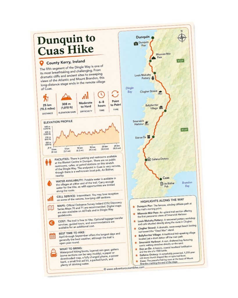
FREE PRINTABLE GUIDE
Take the coastal trail with you.
Save and print this Dunquin to Cuas trail map before your hike. Follow the fifth stage of the Dingle Way from Dunquin’s dramatic cliffs through Mionnán Mór Pass, past Clogher Strand, Smerwick Harbour, Dún an Óir, Gallarus Oratory, and other memorable landmarks before reaching peaceful Cuas beneath Mount Brandon. Use this printable guide to review the route map, elevation profile, hiking statistics, trail highlights, and practical information for one of the Dingle Way’s most scenic and historic stages.
Towering sea cliffs, ancient Ogham Stones, hidden beaches, and the chance to swim in the Atlantic made our walk from Dunquin to Cuas one of the most unforgettable stages of the Dingle Way.
Every section of this long-distance trail offers something different, but this route stood out for the way it blended dramatic coastal scenery with centuries of Irish history. As we walked from cliffs overlooking the Blasket Islands to ancient stones hidden among rolling fields, we felt as though we were journeying through both Ireland’s natural beauty and its past.
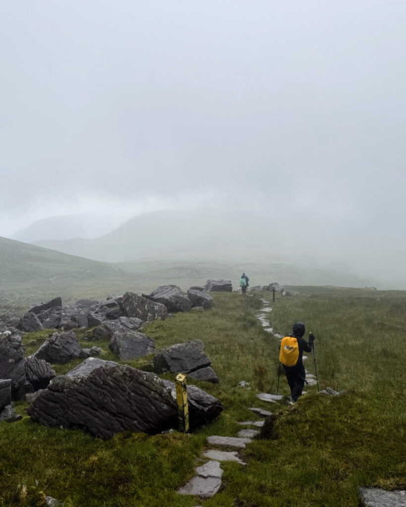
We set out beneath low clouds and a light mist that drifted across the peninsula throughout the day. Although the weather never fully cleared, the soft rain only deepened the atmosphere. Muted light softened the rugged coastline and gave the landscape an almost timeless quality. By the time we reached Cuas beneath the slopes of Mount Brandon, we had experienced another remarkable day on one of Ireland’s most memorable trails.
ONWARD FROM THE VILLAGE
Leaving Dunquin
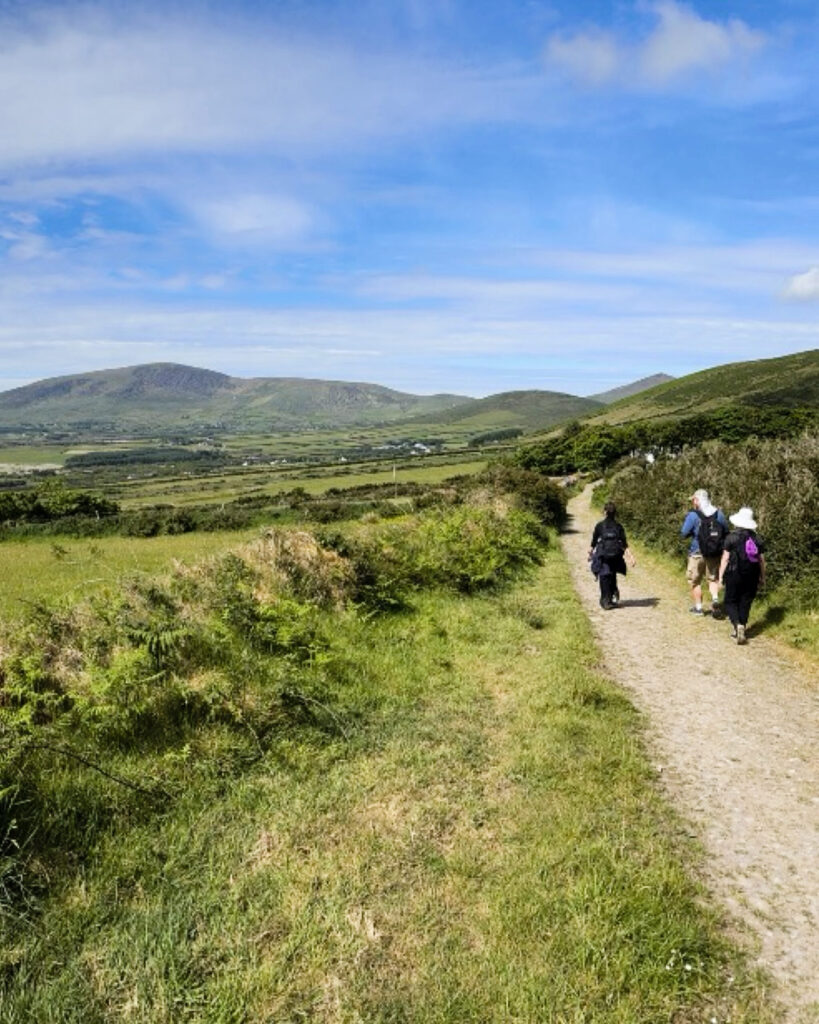
We began the day with a steady climb out of Dunquin along a quiet country road. Soon, the route transitioned onto gravel tracks that wrapped around the shoulder of An Ghráig. The uphill stretch quickly warmed our legs, but the widening views made every step worthwhile.
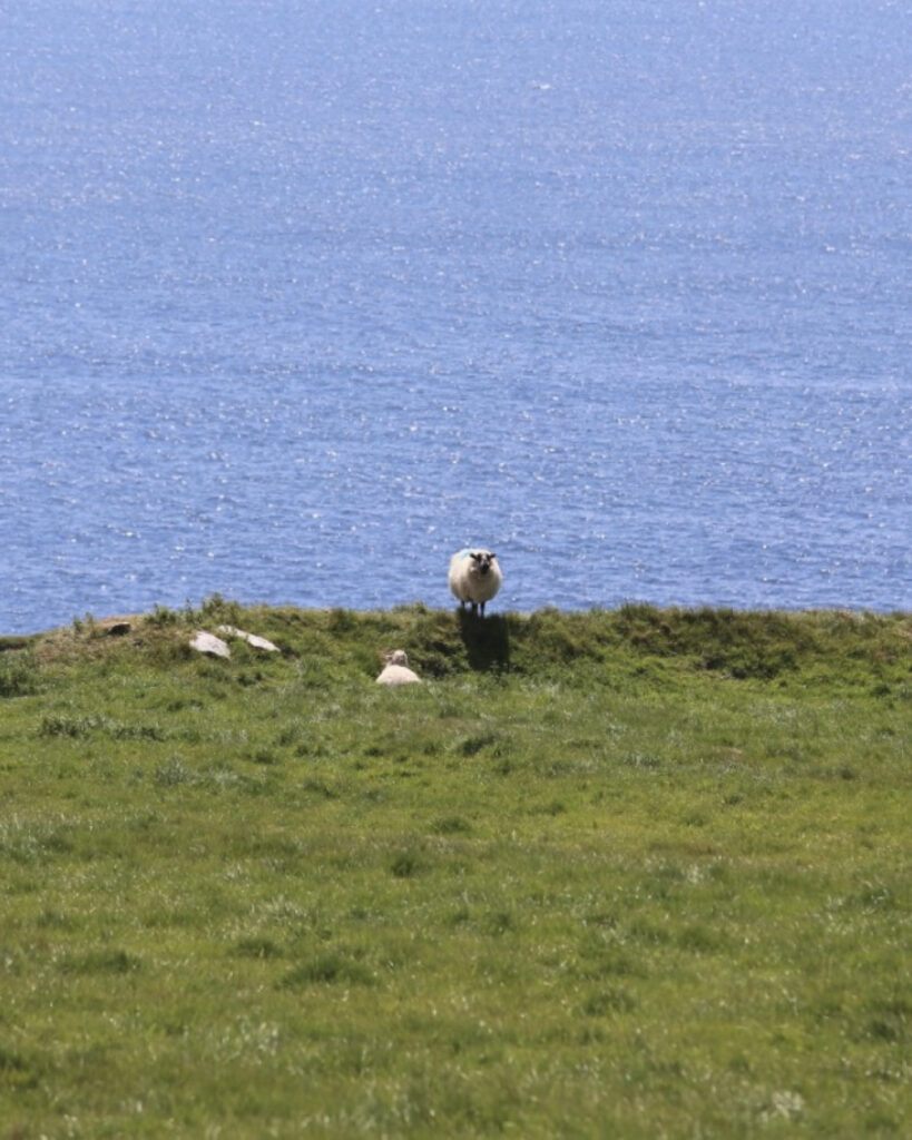
As we looked back, patchwork fields stretched toward the Atlantic, while the Blasket Islands gradually emerged through the offshore mist. Dry-stone walls divided green pastures where sheep grazed beside their lambs, each marked with bright splashes of paint identifying its flock. Nearby, black-and-white dairy cattle rested quietly, seemingly unfazed by the damp morning. With the village behind us, the calls of distant sheep, birds overhead, and the steady Atlantic breeze drew us into the slower rhythm of the trail.
ART ALONG THE WAY
A Creative Pause at
Louis Mulcahy Pottery
After descending toward the road, we arrived at one of the route’s most unexpected stops: the Louis Mulcahy Pottery Workshop and Gallery.
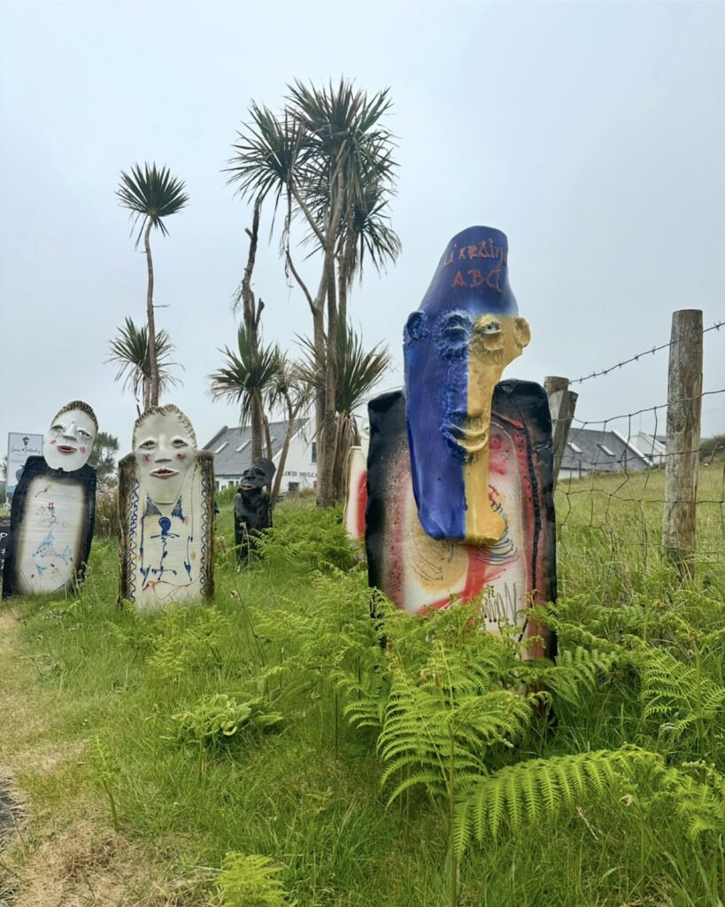
Set against the peninsula’s rural landscape, the studio gave us a welcome opportunity to slow down. Inside, we watched skilled potters throw clay by hand before browsing shelves of beautifully crafted ceramics inspired by Ireland’s landscapes and coastline. Outside, colorful sculptures, handcrafted pottery, and artistic installations transformed the gardens into an open-air gallery.
After several hours on the trail, we lingered over coffee from the café and watched the artisans at work. It was the perfect pause before we returned to the coastline.
BACK TO THE WILD COAST
Cliffs, Beaches, and
Atlantic Views
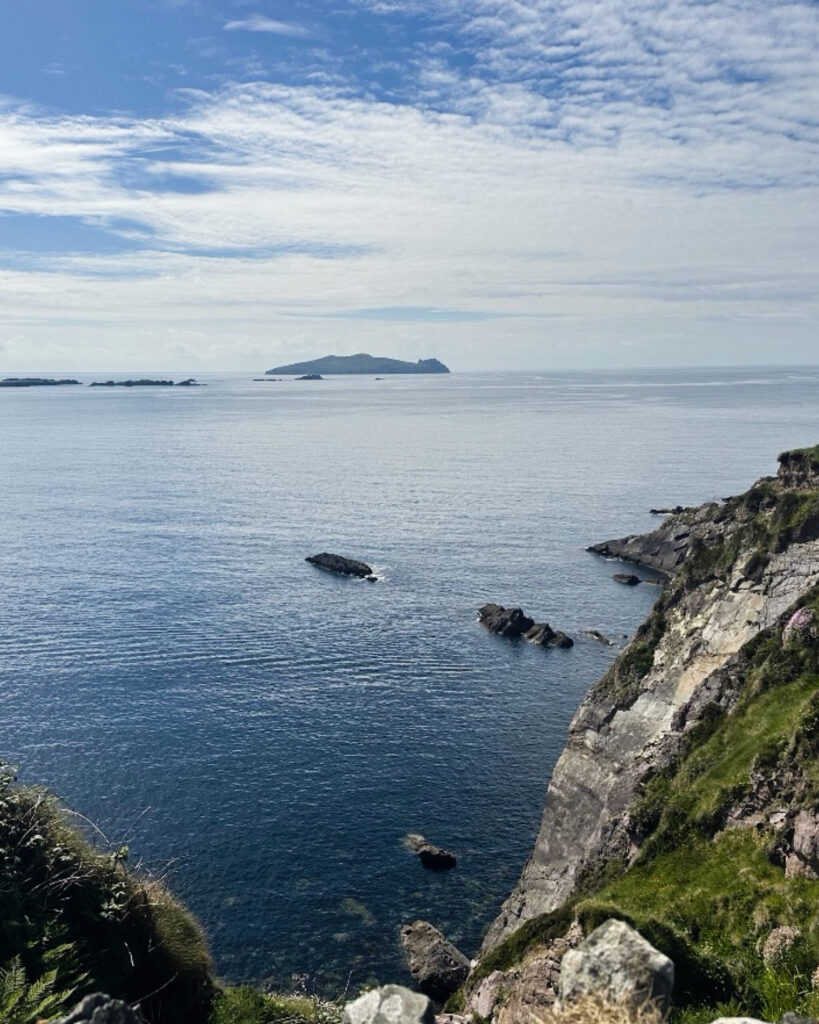
Beyond the pottery studio, we crossed open grasslands and passed the sheltered beauty of Clogher Strand. From there, the scenery shifted once again as we climbed onto dramatic coastal headlands overlooking the Atlantic.
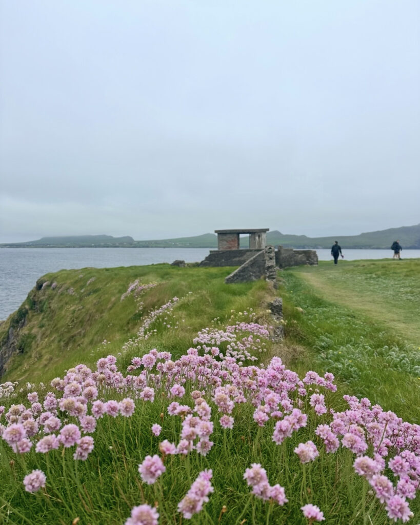
Below us, dark cliffs plunged into the ocean, their rugged contours shaped by centuries of wind and waves. Even beneath overcast skies, the landscape was remarkably colorful. Bright green grasses blanketed the clifftops, while pink sea thrift and clusters of purple wildflowers lined the path, standing out against the dark rock and gray water.
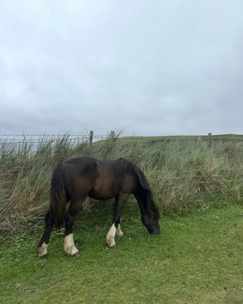
This stretch of coastline also felt wonderfully alive. Seagulls and other seabirds rode the ocean winds while sheep grazed peacefully near the cliff edges. Every so often, curious Irish cobs wandered close to the trail, and cattle rested in the surrounding fields. With salty air around us and waves crashing below, we found ourselves walking through one of the most timeless sections of the day.
AN INVIGORATING DETOUR
A Cold Atlantic Dip
at Béal Bán Strand
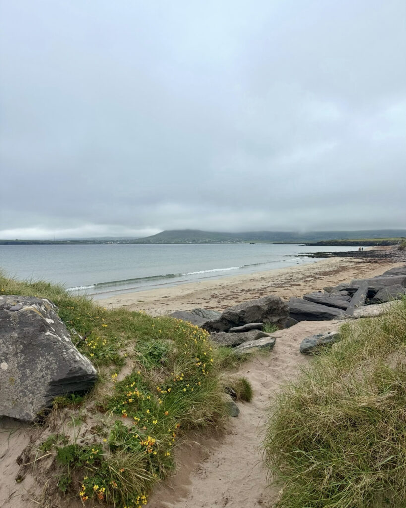
From the cliffs, we continued along the shoreline around Smerwick Harbour, crossing wide sandy beaches and open coastal flats. The broad bay offered a striking contrast to the rugged headlands behind us, with sweeping views across calm water toward the surrounding hills.
One of our favorite memories came at Béal Bán Strand on the harbor’s southern shore. When we reached the beach, we decided to take a refreshing swim in the Atlantic.
The water was every bit as cold as we expected, but after several hours of hiking, it was also incredibly invigorating. As we stood in the gentle surf with green hills rising behind us, we knew we had found one of those simple travel moments we would always remember.
Once we had dried off, we continued toward Cuas. If the earlier miles had introduced us to the wild beauty of the Dingle Peninsula, this final stretch allowed us to slow down and appreciate its quieter side. By the time we arrived beneath the slopes of Mount Brandon, we were not simply finishing another day on the Dingle Way. We had spent the day exploring a landscape rich with history, shaped by the Atlantic, and filled with small moments we will remember long after leaving Ireland.
ANCIENT MARKS ON THE LANDSCAPE
Standing Beside
Ireland’s Ancient
Ogham Stones
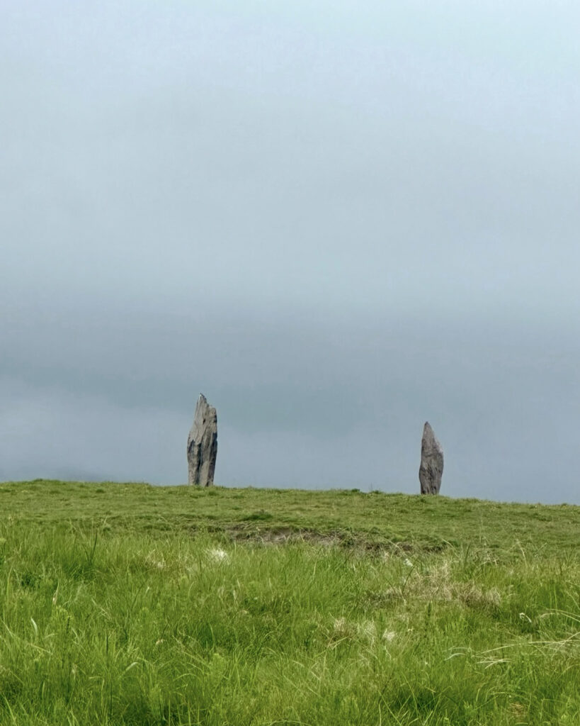
Leaving the beaches behind, we continued inland toward one of the peninsula’s oldest historical treasures: the Ogham Stones.
As we approached them, we saw upright stones carved with some of the earliest known examples of written Irish. Dating back more than 1,500 years, they may once have marked burial sites, territorial boundaries, or important ceremonial locations, although much about their purpose remains uncertain.
Standing beside these ancient monuments while mist drifted across the surrounding fields made the experience even more atmospheric. In the deep silence, the stones somehow seemed older still. Rather than viewing them behind museum glass, we encountered them exactly where they have stood for centuries, quietly overlooking the landscape.
BENEATH THE MOUNTAIN
Into the Shadow
of Mount Brandon
From the Ogham Stones, we continued beyond Ballydavid, following another stretch of cliffside trail before gradually turning inland. As the Atlantic slowly disappeared behind us, Mount Brandon—Ireland’s second-highest mountain—began to dominate the skyline.
We then followed quiet country roads through peaceful farmland toward Cuas. Sheep and cattle dotted the rolling fields beneath the mountain’s broad slopes, while stone walls divided the countryside and low clouds clung to the mountainsides. Together, these final views created a fitting conclusion to our day’s walk.
REFLECTING ON THE JOURNEY
Final Thoughts
As we reached the end of our walk from Dunquin to Cuas, we were reminded just how diverse the Dingle Way can be. In a single day, we crossed rolling farmland, paused at a working pottery studio, followed towering sea cliffs, wandered along quiet beaches, stood beside ancient Ogham Stones, and finished beneath the slopes of Mount Brandon. Every few miles, the landscape seemed to reveal something entirely new.
Looking back, it was not the distance we remembered most. Instead, we remembered watching seabirds soar effortlessly above the Atlantic, taking an icy swim in the crystal-clear waters of Béal Bán Strand, and standing beside Ogham Stones that have watched over these fields for more than 1,500 years. Above all, we remembered walking through a landscape where history and nature have remained inseparable for centuries. Those moments stayed with us long after the hike ended.
While the previous stage introduced us to the wild beauty of the Dingle Peninsula, this one invited us to slow down and appreciate its quieter side. By the time we reached Cuas, we were not simply finishing another day on the Dingle Way.
We had spent the day exploring a landscape rich with history, shaped by the Atlantic, and filled with small moments we would remember long after leaving Ireland.
“With every haunted mountain and streamy vale below.”
W. B. Yeats, Irish Fairy Tales and Folklore
THOUGHTFULLY RESEARCHED
Written by Jacqueline Miller, founder of Adventurous Ambles. Through firsthand travel, original photography, and detailed route research, Jacqueline creates walking guides, hiking resources, destination reading lists, and travel inspiration for curious travelers. Unless otherwise noted, all content and photography on Adventurous Ambles are original works protected by copyright.
KEEP WANDERING
More Adventurous Ambles in Ireland
DESTINATION GUIDE

READING LIST
FREE WALKING TOUR
RESTAURANT RECOMMENDATION
HIKING GUIDE
DESTINATION HIKING GUIDE
HIKING GUIDE
HIKING GUIDE
HIKING GUIDE
Dingle Way: Cuas to Cloghane
Cuas to Cloghane, County Kerry, Ireland, Europe
11 miles, 8 hours, Challenging
FREE WALKING TOUR