Walk beside peaceful water, gliding swans, and windswept scenery while tracing a path into Ireland’s past.
HIKING GUIDE
Follow the Canal Path into Ireland’s Past
Trail at a Glance
TIME
2.5 hours
Longer if visiting windmill & wetlands
DIFFICULTY
Easy
Paved walkway
DISTANCE
6 miles
Loop
ELEVATION
~125 feet
Approximate
Quick Trail Notes
Location
Tralee to Blennerville, County Kerry, Ireland
Accessibility
Much of the canal path is accessible for wheelchairs, mobility scooters, and strollers. Some connecting paths and bridges may have uneven surfaces or short inclines, so accessibility can vary depending on the route you choose.
Facilities
Restrooms, café, parking, and visitor services at both Tralee Bay Wetlands and Blennerville Windmill.
Water Availability
Drinking water is available at the visitor centers and nearby cafés in Tralee and Blennerville. There are no water fountains along the canal itself, so bring a reusable water bottle.
Cell Service
Cell reception is generally excellent throughout the walk, with reliable coverage along the canal and in both Tralee and Blennerville.
Seasonal Closures
The canal path is generally open year-round. The Tralee Bay Wetlands Centre and Blennerville Windmill may operate on seasonal hours or close on certain public holidays. Heavy rain can occasionally leave low-lying sections of the trail muddy or temporarily flooded.
Parking
Free and paid parking is available at both the Tralee Bay Wetlands Centre and Blennerville Windmill, making it easy to begin the walk from either end of the canal.
Dogs
Allowed on leash along the canal paths (check individual visitor center policies).
Canal walk is free; Wetlands tours and Windmill visitor center have separate admission fees
What to Bring
Comfortable walking shoes, light rain jacket, binoculars for birdwatching, camera, a reusable water bottle, and a little patience for otter spotting
Read Along the Route
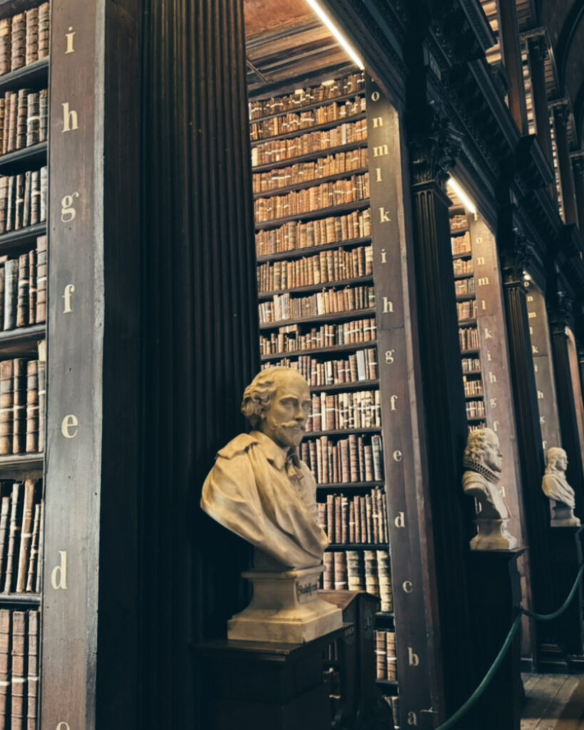
Read Angela’s Ashes alongside this walk for its moving reflections on Irish life, emigration, and resilience, themes that feel especially poignant near the historic famine departure point at Blennerville.
FREE PRINTABLE GUIDE
Take the canal walk with you.
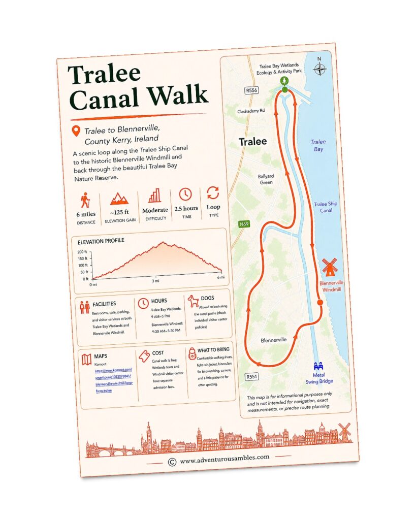
Save or print this Tralee Canal Walk guide before you head out. Follow the scenic loop from Tralee to the historic Blennerville Windmill through the beautiful Tralee Bay Wetlands, enjoying peaceful waterside paths, wildlife, and countryside views along the way. Use this printable guide to review the walking route, distance, elevation profile, facilities, opening hours, what to bring, and other practical information for planning an enjoyable outing.
One of the loveliest places to begin this walk is Tralee Bay Wetlands Eco & Activity Park.
Reeds rustle at the water’s edge, swans drift quietly across the lake, and the setting beside the Tralee Ship Canal feels like a natural meeting point between town and countryside.
Before joining the canal path, we explored the boardwalks, stopped at the bird hides, and climbed the viewing tower for wide-open views across Tralee Bay. Starting here brought us closer to the landscape and made the walk to Blennerville feel like an adventure from the very beginning.
There’s something deeply calming about walking beside an Irish canal. The path is flat, the water barely seems to move, and birds glide past without any sense of urgency. It’s the sort of place where you naturally slow down and forget to check the time.
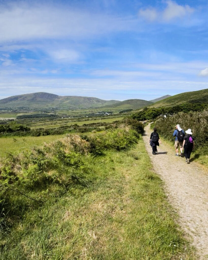
From Trá Lí (better known as Tralee, the lively county town of Kerry) we followed the Tralee Ship Canal towards the small village of Blennerville. The Slieve Mish Mountains rose in the distance, while the canal mirrored Ireland’s constantly changing skies.
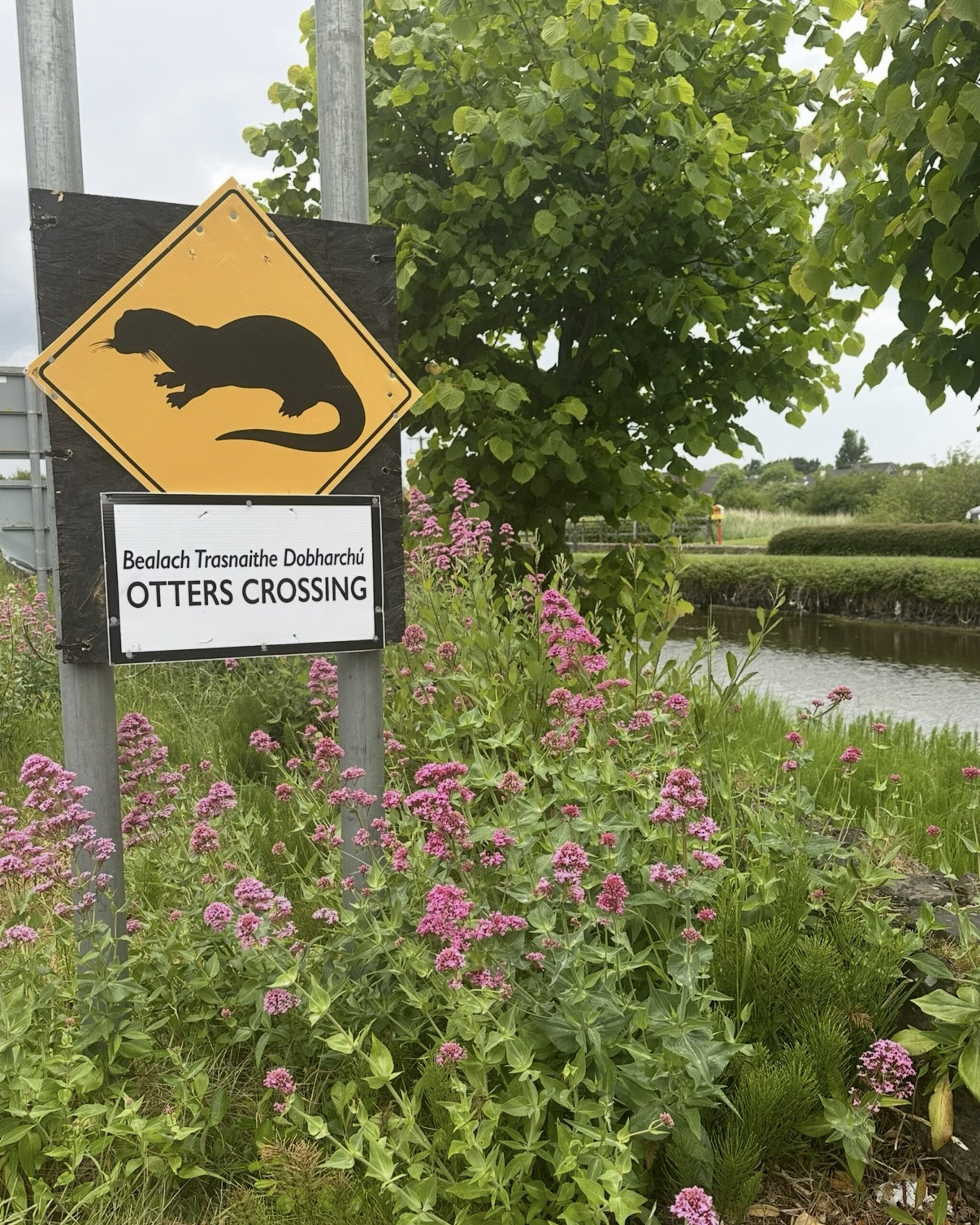
Wildlife was never far away. Swans moved gracefully through the water with their cygnets tucked close behind, and herons stood motionless among the reeds. We kept hoping to spot one of the area’s otters, especially after seeing the charming “Otters Crossing” signs. We never knew whether one might appear, and that possibility added a little magic to the walk.
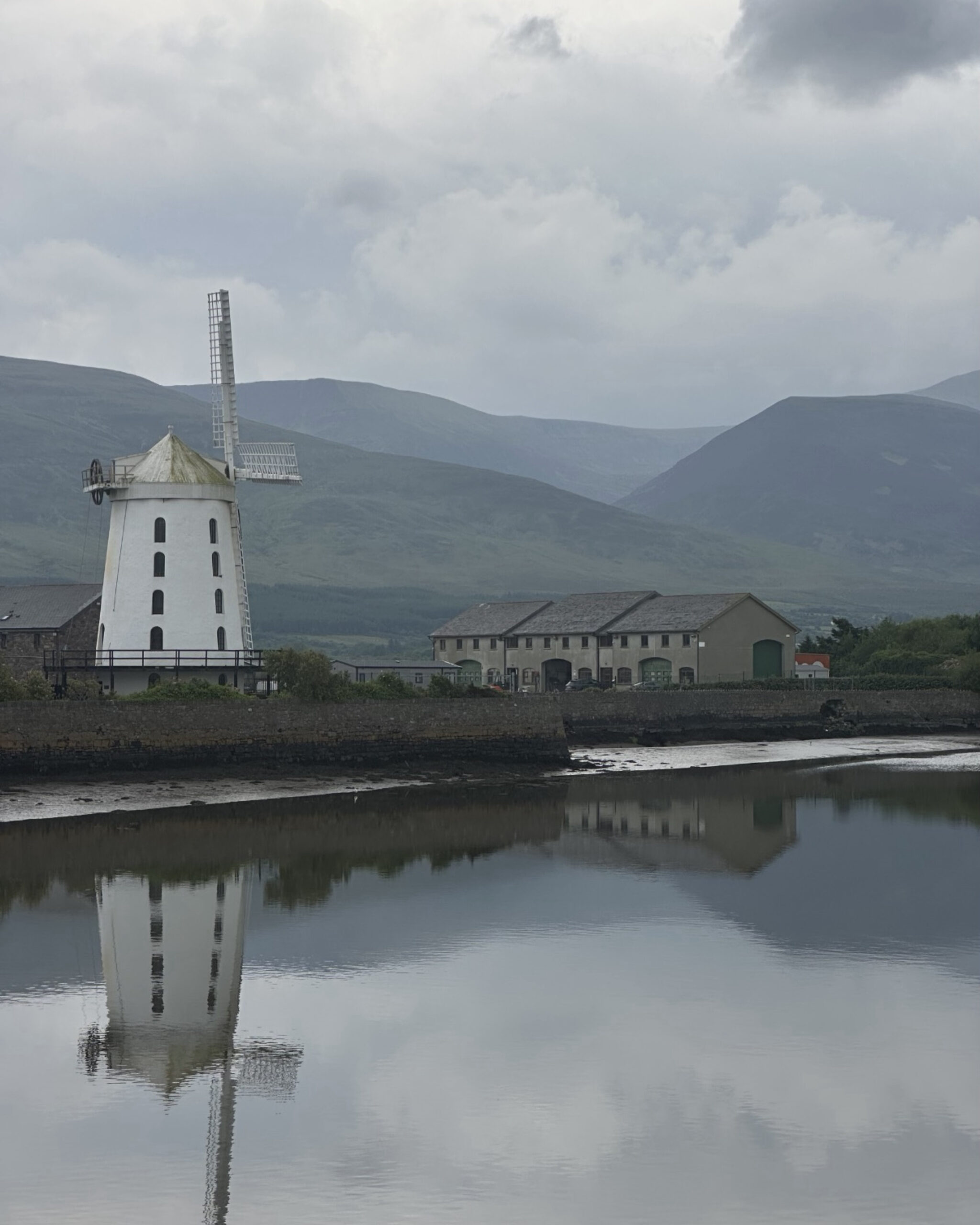
As we continued, the white tower of Blennerville Windmill slowly came into view. Standing proudly against the sky, it looked like a piece of another century. We crossed the metal swing bridge into the village and soon found ourselves beneath one of Kerry’s best-known landmarks.
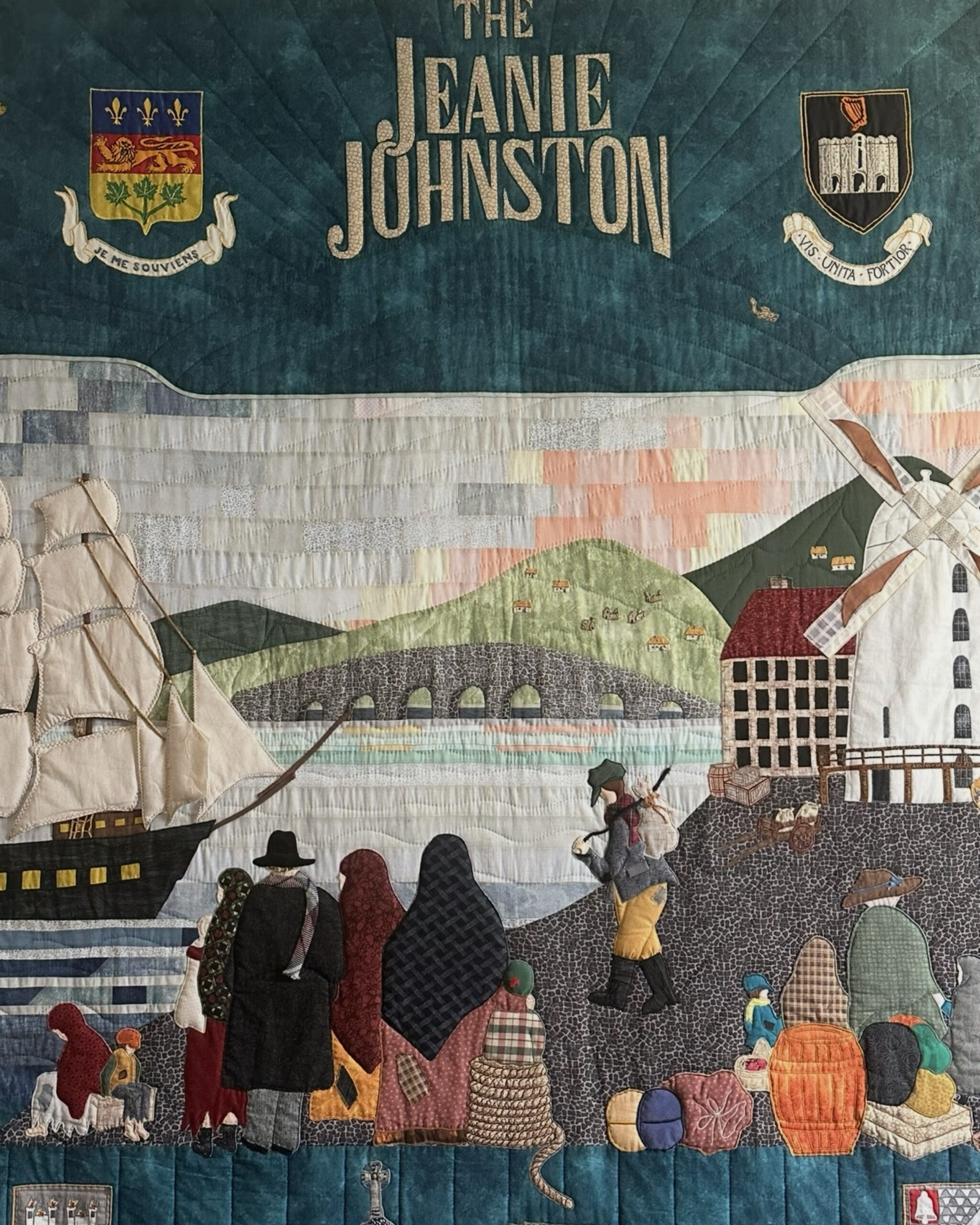
At 21.3 metres, Blennerville Windmill is the tallest working windmill in Ireland. Built around 1800, it once milled grain and played an important role in the economy of Tralee’s port. Blennerville also has a more sombre history. During the Great Famine, it became a major departure point for families leaving Kerry for North America in search of survival and a better life.
Today, the beautifully restored windmill is open to visitors, with traditional milling demonstrations, original machinery, and exhibitions telling the story of famine-era emigration from Kerry. Watching the enormous millstones turn offered a fascinating glimpse into the work and rhythms of life two centuries ago.
For the return journey, we followed a loop along Kearney’s Road, skirting the edge of Tralee Bay Nature Reserve. Marshland, reeds, and lily-covered water provided a rich habitat for birds and other wildlife. From there, the route climbed gently towards Healy’s Cross before winding down through the leafy lanes of Ballyard Hill and back towards town.
Although the walk is easy and family-friendly, it never feels uneventful. Between the wildlife, water, mountain views, and layers of local history, it has all the satisfaction of a proper adventure without being too demanding.
On a moody Kerry afternoon, with rain clouds gathering over the mountains and the canal reflecting the sky like glass, it was especially memorable.
ONE PAGE AND STEP AT A TIME
“He knows how it is to leave Ireland, did it himself and never got over it.”
Frank McCourt, Angela’s Ashes
ORIGINAL WORK THOUGHTFULLY
RESEARCHED
Written by Jacqueline Miller, founder of Adventurous Ambles. Through firsthand travel, original photography, and detailed route research, Jacqueline creates walking guides, hiking resources, destination reading lists, and travel inspiration for curious travelers. Unless otherwise noted, all content and photography on Adventurous Ambles are original works protected by copyright.