FOLLOW THE TRAIL TO SLEA HEAD
Dingle Way:
Dingle to
Dunquin
Hike across golden beaches and ancient landscapes to wild Atlantic cliffs where
dolphins may leap below.
We Watched
Dolphins Leap
Below the Cliffs
at Slea Head
Trail at a Glance
TIME
5-7 hours
Approximate
DIFFICULTY
Moderate
varies by terrain & weather
DISTANCE
20 km (12.5-14.5 miles)
Point to point
ELEVATION
~370-585 meters (1200-1922 ft)
Approximate
Quick Trail Notes
Location
County Kerry, Starting in Dingle and ending in Dunquin.
The terrain has stiles, soft sand, and muddy/rocky footing. It is not wheelchair accessible or suitable for standard strollers.
Facilities
Cafés, public restrooms, and accommodations are highly concentrated in the town of Dingle. Dunquin has limited facilities (a pub, a café, and some B&Bs). Along the route, there are public restrooms at Ventry Beach and mid-way toilets are available at Slea Head at The Stonehouse Restaurant or Teac Couminole Café.
Water Availability
Potable water is available in the villages at either end of the trail. Carry enough water for the hike, as refill opportunities are limited along the route.
Cell Service
Generally available along most of the trail, though reception can be spotty in low-lying valleys and mountainous areas.
Dogs
Not recommended. The trail passes through active sheep grazing farmlands; local farmers heavily restrict dogs, even if leashed.
Maps
Official Ordnance Survey Ireland (OSi) Discovery Series Maps 70 and 71 are recommended. Digital maps are also available on AllTrails and in Dingle Way guidebooks.
Best Time to Hike
April through September offers the longest days and generally the best weather, although the trail is open year-round.
The trail is free to hike. Optional luggage transfer services, guided tours, and accommodations are available for an additional cost.
What to Bring
Waterproof hiking boots, layered rain gear, gaiters (some sections can be very muddy), a paper or downloaded map, a fully charged phone, a power bank, a small first aid kit, a packed lunch, and plenty of drinking water.
Read Along the Route
Brooklyn by Colm Tóibín beautifully complements this stage of the Dingle Way, capturing the enduring connection between Ireland’s rural landscapes, close-knit communities, and the powerful sense of home you’ll experience while walking from Dingle to Dunquin.
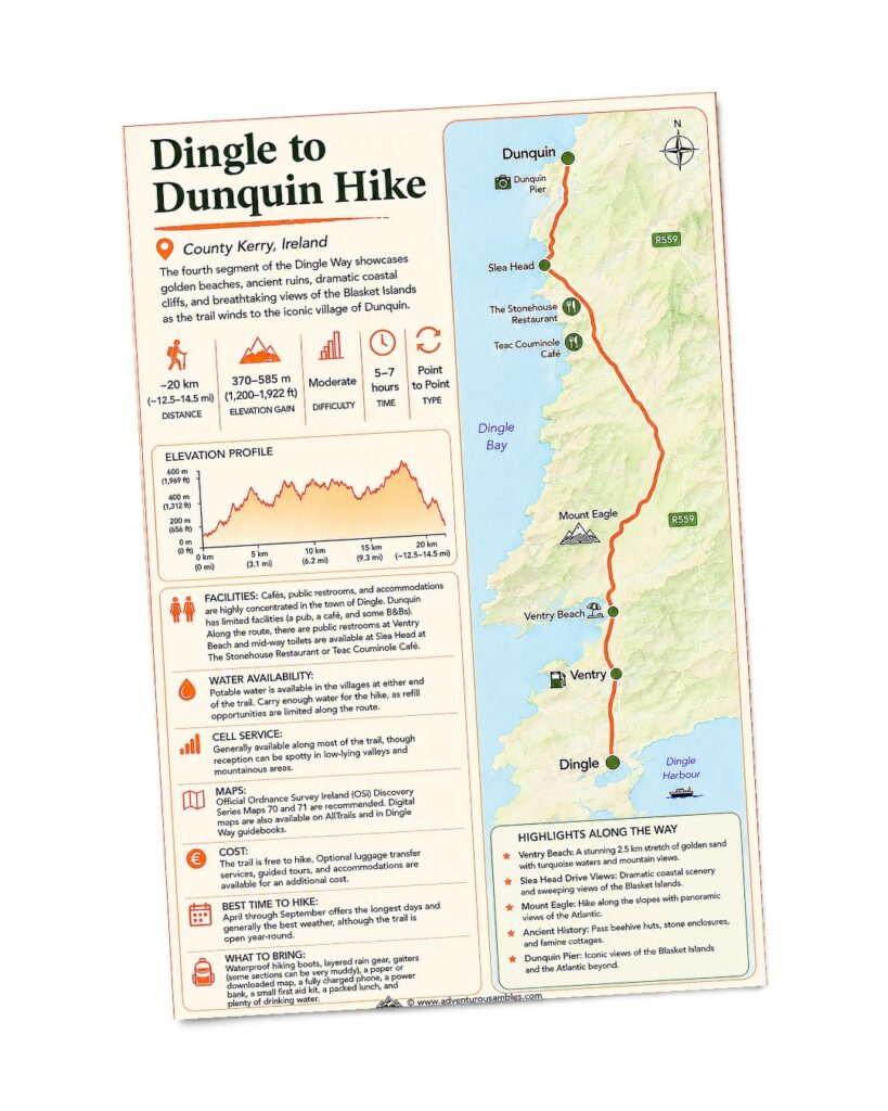
FREE PRINTABLE GUIDE
Take the Slea Head trail with you.
Save or print this Dingle to Dunquin trail map before your hike. Follow this unforgettable stage of the Dingle Way past Ventry Beach, Mount Eagle, Slea Head, ancient beehive huts, and spectacular views of the Blasket Islands before reaching Dunquin. Use this printable guide to review the route map, elevation profile, hiking statistics, available facilities, and essential planning information for one of the most scenic stages of Ireland’s iconic long-distance trail.
Some hikes are memorable for the distance you cover.
Others stay with you because every mile reveals something extraordinary. The Dingle Way from Dingle to Dunquin is one of those walks. From rolling farmland and golden beaches to ancient stone ruins, towering sea cliffs, and even dolphins leaping below Slea Head, this stage showcases the incredible diversity of the Dingle Peninsula. It is a day where Ireland’s natural beauty, rich history, and the Atlantic Ocean come together in an indelible fashion.
We were fortunate to experience one of those rare Irish days that locals treasure. Clear blue skies, warm sunshine, and calm seas stretched endlessly toward the horizon. The brilliant weather highlighted every shade of green along the hillsides and every brilliant blue in the Atlantic, making this one of our favorite days on the Dingle Way.
FROM HARBOR TO HILLSIDE
Leaving Dingle
Behind
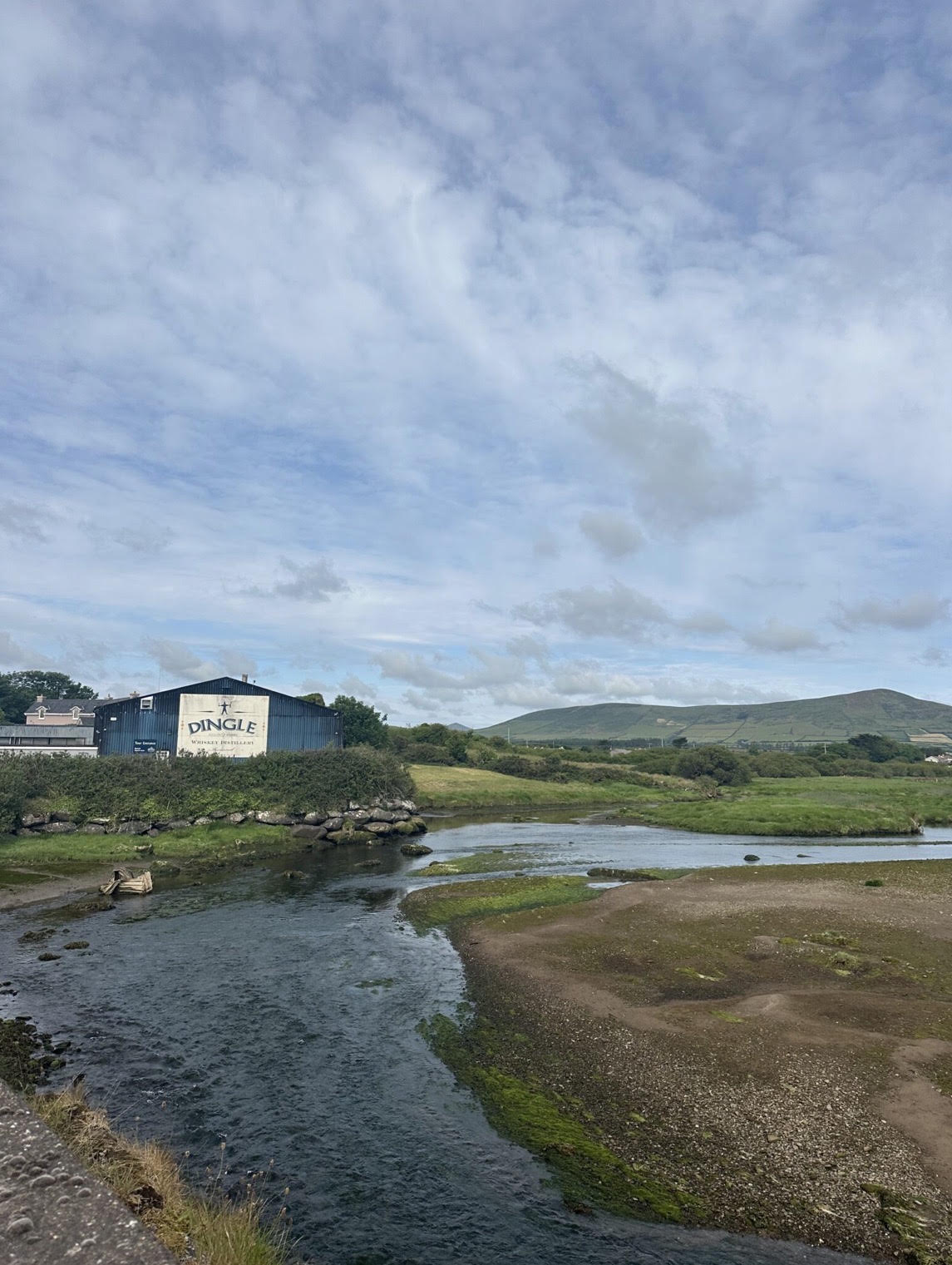
As we left Dingle, we followed the trail along the harbor before crossing the Milltown River and briefly joining the main road west. Before long, however, the route turned onto the quiet country lanes that have become synonymous with hiking on the Dingle Peninsula.
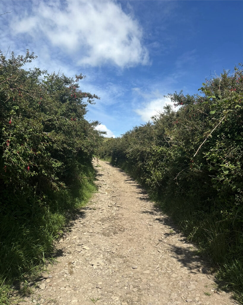
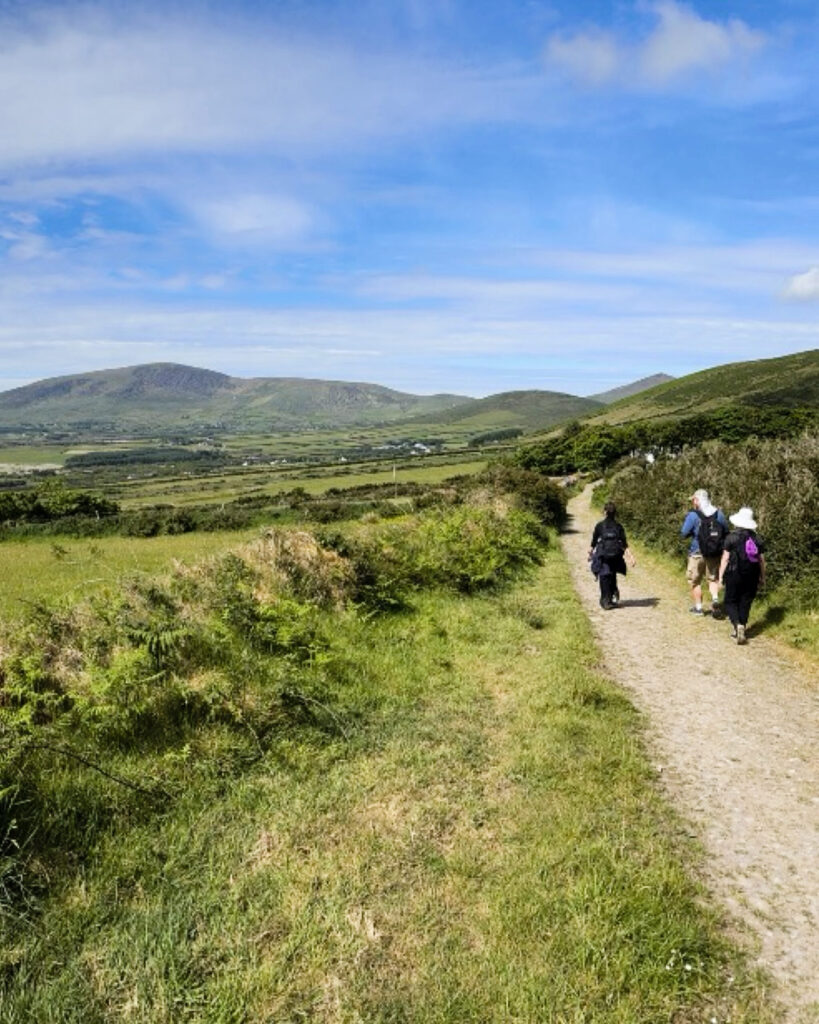
Almost immediately, we felt our pace begin to slow. The sounds of town gradually faded behind us, replaced by birdsong, the distant bleating of sheep, and the occasional lowing of cattle grazing in tranquil green pastures. Small whitewashed cottages dotted the rolling hillsides, while patchwork fields stretched toward rounded mountains in every direction. Centuries-old dry-stone walls enclosed nearly every field, creating the unmistakable landscape that has defined this peninsula for generations.
As we continued through the low-lying farmland, we were surrounded by lush grasses nourished by Ireland’s mild maritime climate. The roadside burst with spring color. Bright yellow irises bloomed beside damp ditches, delicate pink sea thrift covered rocky banks, and cheerful oxeye daisies swayed in the breeze. Beneath the hedgerows, ferns unfurled, while hardy heather and soft moss blanketed weathered stone walls and scattered boulders. With every meadow humming quietly with pollinators, the countryside felt wonderfully alive.
After several kilometers, the official Dingle Way departed from the route shown on many older maps. It briefly joined the historic Pilgrims’ Route before leaving the road altogether. From there, we climbed gently toward Mám an Óraigh, crossing open pastures through a series of gates and stiles before descending toward Ventry. Whenever we looked back, we could see Dingle Harbour slowly fading into the distance as broader views of the surrounding countryside opened before us.
Soon afterward, the landscape changed completely.
WHERE THE TRAIL MEETS THE SEA
Walking Across
Ventry Beach
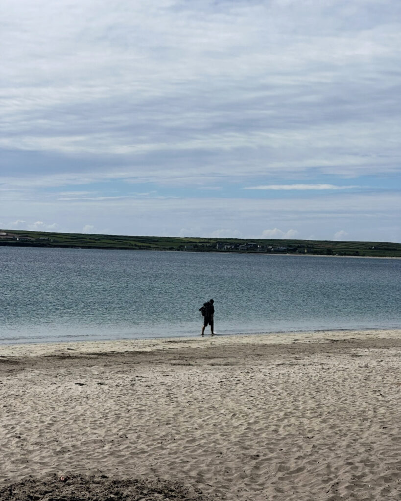
For the first time on the Dingle Way, we left the fields behind and stepped onto a wide sweep of golden sand. For nearly 2.5 kilometers, we followed the graceful arc of Ventry Beach, where the Atlantic lapped gently against the shoreline in brilliant shades of turquoise and deep blue.
After hours of walking on gravel roads and grassy tracks, the firm sand felt surprisingly comfortable beneath our feet. Small rivers wound across the beach on their way to the sea, with charming footbridges helping us cross them. Meanwhile, the calm, crystal-clear water seemed to invite us to stop and cool our tired feet. On such a warm day, we found it difficult not to pause and simply enjoy the peaceful beauty of the bay before continuing west.
Eventually, though, the beach came to an end, and we returned to the quiet country roads.
Beyond Ventry, we followed the Dingle Way through a maze of secluded lanes before reaching the famous Slea Head Drive. Because of access restrictions near Cill Mhic an Domhnaigh, we had to take a road detour for just over a kilometer.
This was one section where we needed to be especially cautious. On clear days, Slea Head is a popular scenic drive, and the narrow road leaves walkers with very little room to step aside. We walked single file, remained alert around blind bends, and took advantage of every opportunity to move out of the way of passing cars.
Fortunately, the road walk was relatively brief. Before long, we escaped once again into the open countryside and began climbing toward Mount Eagle.
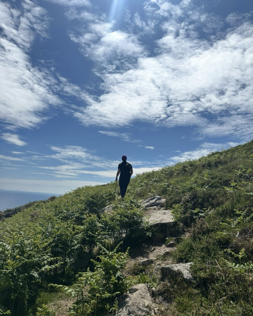
INTO WILDER TERRAIN
Climbing Mount Eagle
From this point onward, the scenery became increasingly spectacular. The trail skirted the lower slopes of Mount Eagle, climbing steadily across an open mountainside covered with grasses, ferns, scattered granite boulders, and patches of heather. Crystal-clear streams tumbled through moss-covered rocks before disappearing into the valleys below, their rushing water adding a soothing soundtrack to the quiet surroundings.
Although the climb was never particularly steep, the Atlantic seemed to grow larger with every step. Sheep grazed freely across the slopes, entirely unconcerned by our presence, while curious lambs rested nearby in the sunshine. Higher on the hillside, we spotted agile mountain goats navigating rocky outcrops that looked nearly impossible to climb. Watching them bound effortlessly across the cliffs reminded us that this rugged landscape belonged as much to its wildlife as it did to those of us fortunate enough to hike through it.
As we continued upward, wildflowers brightened the trail with clusters of sea pinks, daisies, and yellow blossoms. Seabirds glided on the coastal updrafts, while smaller birds darted through the hedgerows below. Together with the distant bleating of sheep and the sound of waves crashing against the cliffs, these sights and sounds made the mountainside feel wonderfully untamed.
Then, as the trail curved around the mountain, another remarkable feature of the Dingle Peninsula began to emerge.
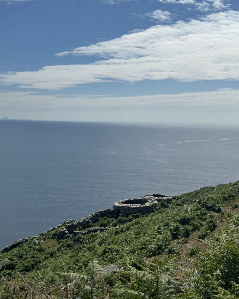
STORIES SET IN STONE
Walking Through
Ireland’s Ancient Past
Scattered across the mountainside, we encountered the remains of clocháin, more commonly known as beehive huts. Built entirely from stacked stone without mortar, these remarkable structures have endured for centuries. Nearby stood abandoned famine cottages, silent reminders of the families who once struggled to survive in this isolated corner of Ireland. Ancient stone enclosures and promontory forts also perched above the Atlantic, strategically positioned on rocky headlands where communities once watched both opportunity and danger approach from the sea.
What struck us most was that these archaeological treasures did not sit behind museum walls. Instead, they remained part of the landscape, quietly accompanying us as we continued west. Their presence made this stage feel like much more than a hike. It became a journey through Ireland’s living history.
Then, almost without warning, we rounded Slea Head and watched the Atlantic open before us.
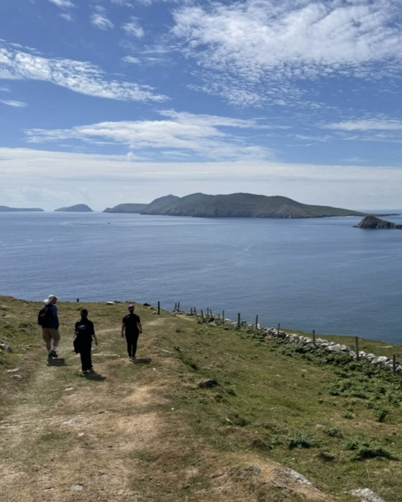
AT THE EDGE OF IRELAND
Slea Head and the
Blasket Islands
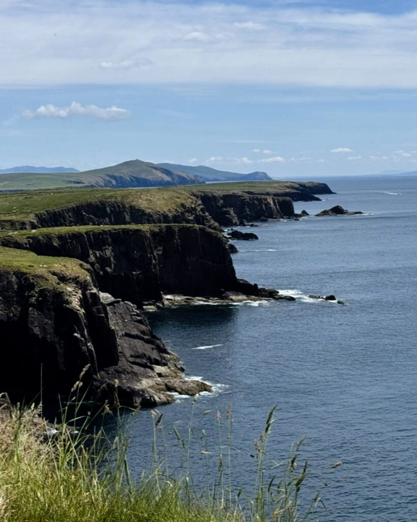
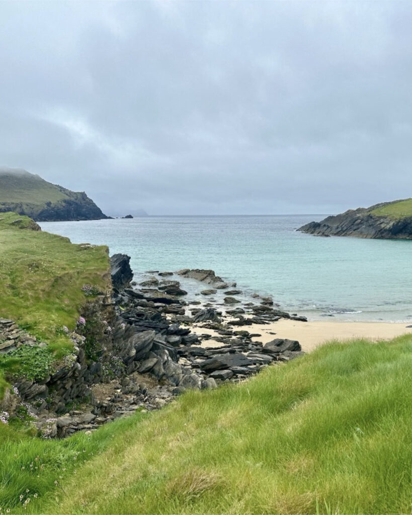
Towering sea cliffs plunged into brilliantly blue water, while waves crashed against jagged rock formations hundreds of feet below. Offshore, the Blasket Islands rose dramatically from the Atlantic, their green slopes contrasting beautifully with the deep sapphire sea.
Standing at the top of the cliffs, we could trace the rugged coastline for miles in either direction. Somehow, each viewpoint managed to surpass the one before it. Then came one of the most unforgettable moments of our entire Dingle Way adventure.
Far below us, several dolphins surfaced and began leaping through the calm Atlantic waters.
For several minutes, we stood in complete silence and watched them arc gracefully through the sea beneath the cliffs. It was one of those magical experiences that no photograph could truly capture, a reminder that nature often provides its greatest surprises when we least expect them.
Under the warm sunshine, the Atlantic shimmered like polished glass, and the clear conditions allowed us to see for miles across the peninsula toward the Blasket Islands on the horizon.
Tírdhreach álainn.
A beautiful landscape indeed.
With the Atlantic beside us, we began the gradual descent toward one of Ireland’s most recognizable coastal villages.
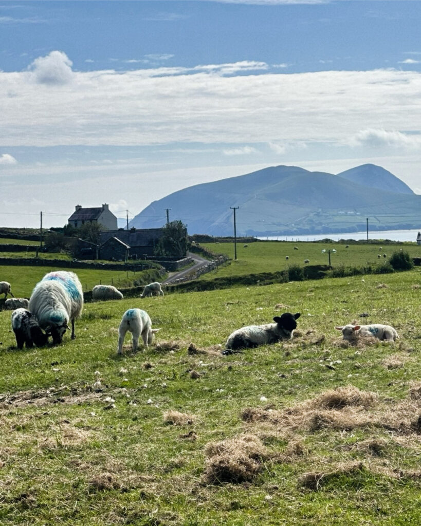
THE TRAIL’S FINAL MILES
Arriving in Dunquin
Eventually, we rejoined the main road and descended into Dunquin, one of Ireland’s most iconic coastal villages. The famous Dunquin Pier curved ruggedly toward the Atlantic, framed by steep cliffs and the Blasket Islands beyond. Although we had seen it countless times in photographs and travel guides, the view was every bit as spectacular in person as its reputation suggested.
Just beyond the village stood the Blasket Centre, where we could learn about the remarkable island communities that once lived offshore. Those communities preserved a distinctive language, culture, and literary tradition that continues to shape Irish identity today. With more time, we would gladly have spent an extra day here. A ferry to Great Blasket Island would have offered us the chance to wander among abandoned stone cottages and reflect on the resilience of those who once called the windswept island home.
A WALK TO REMEMBER
Final Thoughts
The hike from Dingle to Dunquin reminded us why we fell in love with the Dingle Way. In a single day, we wandered through quiet farmland, crossed a sweeping golden beach, climbed mountain slopes dotted with wildflowers and grazing sheep, passed centuries-old ruins, and stood atop some of Ireland’s most breathtaking coastal cliffs.
More importantly, every section of the trail offered something new. We followed peaceful boreens out of Dingle, cooled our feet in the turquoise waters of Ventry Beach, paused beside ancient stone ruins scattered across the hillsides, and admired sweeping Atlantic views from Slea Head. Together, these moments created an experience that beautifully blended Ireland’s natural beauty, rich history, and enduring rural traditions.
When we think back on this stage of the Dingle Way, we remember far more than simply reaching Dunquin. We remember everything we experienced along the way. Above all, we will never forget standing on the cliffs at Slea Head and watching dolphins leap through the Atlantic far below us.
It was the kind of unexpected moment no itinerary could promise, and the perfect ending to a day that revealed, mile after mile, why the Dingle Peninsula is one of the most extraordinary places we have ever explored on foot.
“The air, the light, the ground, it was all solid and part of her.”
Colm Tóibín, Brooklyn
THOUGHTFULLY RESEARCHED
Written by Jacqueline Miller, founder of Adventurous Ambles. Through firsthand travel, original photography, and detailed route research, Jacqueline creates walking guides, hiking resources, destination reading lists, and travel inspiration for curious travelers. Unless otherwise noted, all content and photography on Adventurous Ambles are original works protected by copyright.
KEEP WANDERING
More Adventurous Ambles in Ireland
DESTINATION GUIDE

READING LIST
FREE WALKING TOUR
RESTAURANT RECOMMENDATION
HIKING GUIDE
DESTINATION HIKING GUIDE
HIKING GUIDE
HIKING GUIDE
Dingle Way: Dunquin to Cuas
Dunquin to Cuas, County Kerry, Ireland, Europe
15 miles, 8 hours, Moderate
HIKING GUIDE
Dingle Way: Cuas to Cloghane
Cuas to Cloghane, County Kerry, Ireland, Europe
11 miles, 8 hours, Challenging
FREE WALKING TOUR