Short trails, big Sierra views
Quick Walks to Some of California's Greatest Wonders
Buena Vista Trail
Quick Trail Notes:
- Length: 2 miles
- Elevation Gain: ~400 feet
- Difficulty: Easy to moderate
- Time: 1–1.5 hours
- Location: The trailhead begins at a small turnout on the east side of Generals Highway, just south of the Kings Canyon Overlook.
- Parking: Free parking is available at the trailhead and the nearby Kings Canyon Overlook across the road. Spaces are limited and can fill quickly during summer weekends.
- Facilities: There are no restrooms or drinking water at the trailhead. Historical exhibits with audio descriptions are available near the parking area.
- Water Availability: No potable water is available along the trail. Carry plenty of water, especially during warmer months.
- Cell Service: Cell reception is limited to nonexistent along much of the trail. Download maps before arriving.
- Dogs: Pets are not allowed on the trail.
- Accessibility: The trail is not wheelchair or stroller accessible due to uneven dirt surfaces, exposed granite, and moderate elevation gain.
- Maps: Available on AllTrails.
- Cost: None
- Seasonal Closures: The trail is generally open year-round, but winter storms, snow, ice, fallen trees, or temporary road closures along Generals Highway may affect access. Check current park conditions before visiting.
- What to Bring: The summit is exposed with very little shade. Bring plenty of water, sunscreen, a hat, sunglasses, sturdy walking shoes, and layers, as mountain weather can change quickly.
- Read Along the Route: The Buena Vista Trail feels like stepping into the pages of My First Summer in the Sierra, with its granite outcrops, wildflowers, and quiet Sierra beauty.
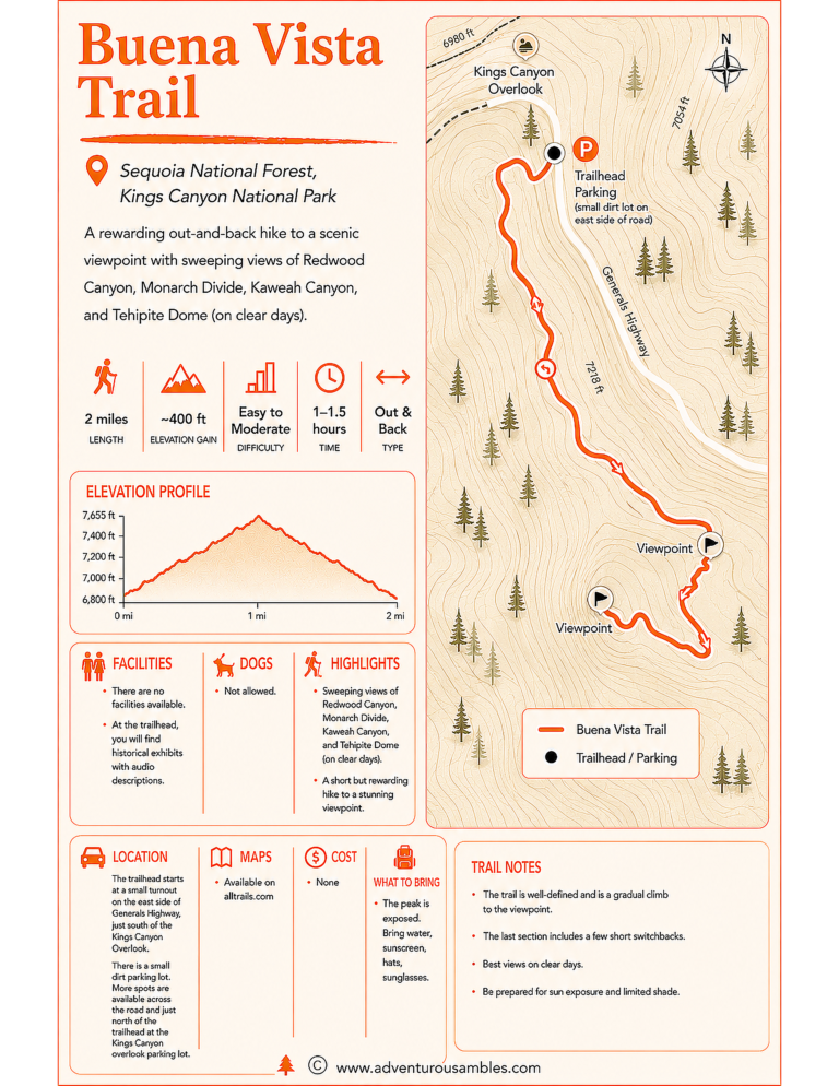
Save this Buena Vista Trail map before your hike. From Kings Canyon Overlook, this short out-and-back trail climbs through giant sequoias to sweeping views of Redwood Canyon, Monarch Divide, Kaweah Canyon, and Tehipite Dome. Use this printable guide to plan your walk, find the trailhead, check trail details, and make the most of one of Sequoia National Forest’s most rewarding short hikes.
If you’re looking for a little taste of Sierra magic without committing to an all-day trek, the Buena Vista Trail near Kings Canyon National Park is a wonderful choice.
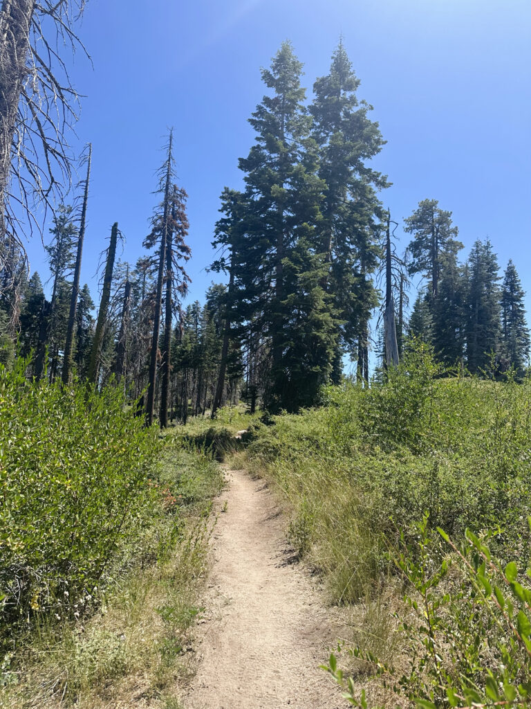
My hike began at the Buena Vista Trailhead, an unassuming starting point that gave very little indication of what was waiting ahead. Within minutes, however, the path began climbing gently, and I settled into that familiar Sierra rhythm: step, breathe, look up, repeat.
What I loved most about this trail was how gradually it revealed itself. There wasn’t a dramatic moment right at the beginning. Instead, the beauty quietly built around me.
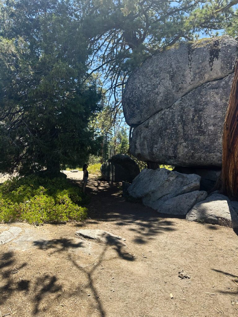
I walked through shaded stretches of pine and fir, where the air felt cooler and the forest hummed softly with life. Then I would round a bend and suddenly find myself beside enormous granite boulders, stacked and balanced so perfectly that they almost appeared deliberately placed.
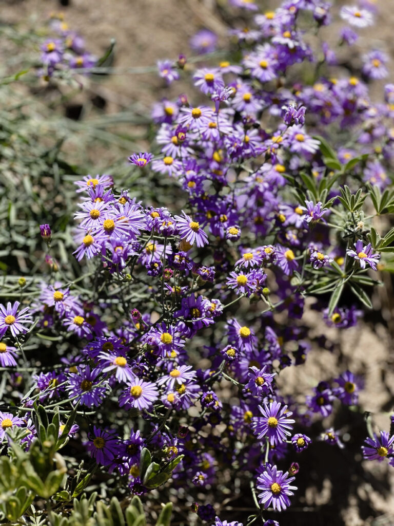
When the wildflowers are blooming, they offer another reason to slow down. Small bursts of purple and yellow dotted the trail during my visit, softening the rugged terrain and bringing the forest floor to life. More than once, I stopped mid-step to admire them.
Then I reached the reason for the hike.
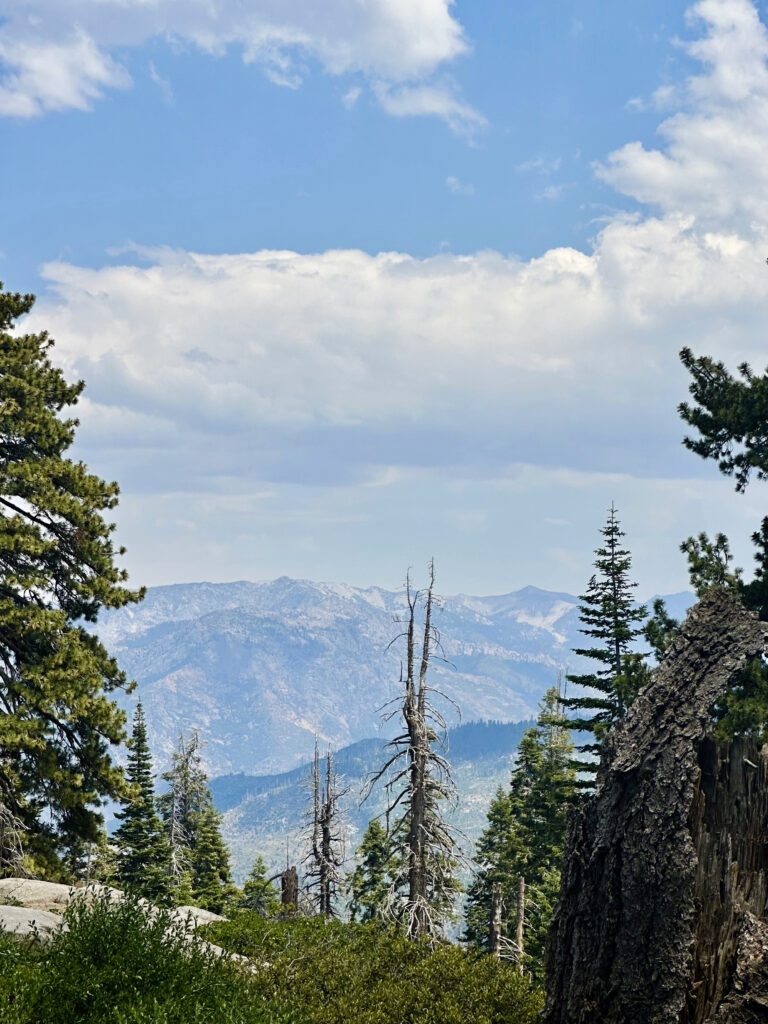
“Buena vista” means “good view” in Spanish, and the name couldn’t be more fitting. The trail opened onto a sweeping viewpoint where the Sierra stretched before me in layer after layer. I could see across Redwood Canyon and Redwood Mountain toward the rugged Monarch Divide. On an especially clear day, it may even be possible to spot Tehipite Dome in the distance and the dramatic cut of Kaweah Canyon.
It was the kind of view that makes you stop without thinking.
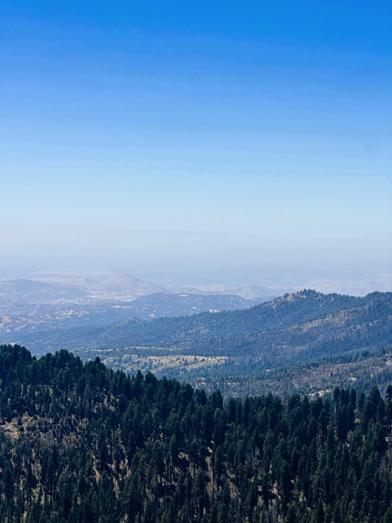
Rolling foothills and forested ridgelines faded into shades of hazy blue, creating that classic sense of Sierra depth, vast, peaceful, and difficult to capture in a photograph. Perched among the granite beneath an open sky, I felt as though I had been given a front-row seat to the landscape.
The view didn’t have the towering drama of a waterfall or sheer cliff, but its quieter beauty stayed with me just as powerfully.
This would also be a gorgeous place to linger near sunset. As the sun drops, the light washes the ridgelines in warm gold and muted pink. Shadows stretch across the valleys, the layered mountains deepen in color, and everything seems to slow down. If you return for sunset, be sure to leave enough daylight (or carry a flashlight) for the walk back.
One of the best things about the Buena Vista Trail is how approachable it feels. At roughly two miles round trip with a gradual climb, it gave me the satisfaction of completing a hike without leaving me exhausted. It was easy to fit into a larger day of exploring, although the view made me want to stay longer than planned.
If you’re already visiting the giant sequoias or exploring this part of the park, the Buena Vista Trail makes a lovely addition to the day. It isn’t flashy, and it doesn’t need to be.
It’s simply a peaceful trail, a steady climb, and a beautiful view that follows you long after you’ve made your way back down.
Panoramic Point Trail

Quick Trail Notes:
- Length: .5 miles (roundtrip)
- Elevation Gain: ~95-100 feet
- Difficulty: Easy
- Time: 30 minutes
- Location: Trailhead is located at the top of Panoramic Point Road, about 2.3 miles up the hill from Grant Grove Village.
- Parking: Free parking is available at the trailhead. The lot can fill during summer afternoons and holiday weekends, so arriving earlier in the day is recommended.
- Facilities: Vault toilets, picnic tables, and bear proof food storage boxes are available near the parking area.
- Water Availability: There is no drinking water at the trailhead. Bring plenty of water, especially during warmer months or at high elevations.
- Cell Service: Cell service is limited to nonexistent in this area of the park. Download maps and directions before arriving.
- Dogs: Pets are not allowed on the trail.
- Accessibility: The trailhead includes a paved, smooth asphalt path suitable for many wheelchairs and mobility devices. For the easiest route, begin near the restrooms and stay left at the trail junctions. While some viewpoints may have slight grades, most visitors can enjoy the spectacular scenery along the paved route.
- Maps: Available on Alltrails
- Cost: National Park entrance fee required.
- Seasonal Closures: The trail is generally open year-round, but Panoramic Point Road may temporarily close during winter storms because of snow and ice. Check current road conditions before visiting during late fall through spring.
- What to Bring: High-altitude UV exposure is strong even on cool days. Bring water, a hat, sunglasses, high-SPF sunscreen, sturdy walking shoes, and a light jacket, as temperatures can change quickly.
- Read Along the Route: The sweeping mountain vistas along Panoramic Point Trail are a perfect match for The Power of Scenery: Frederick Law Olmsted and the Origin of National Parks, which explores the importance of preserving landscapes like these.
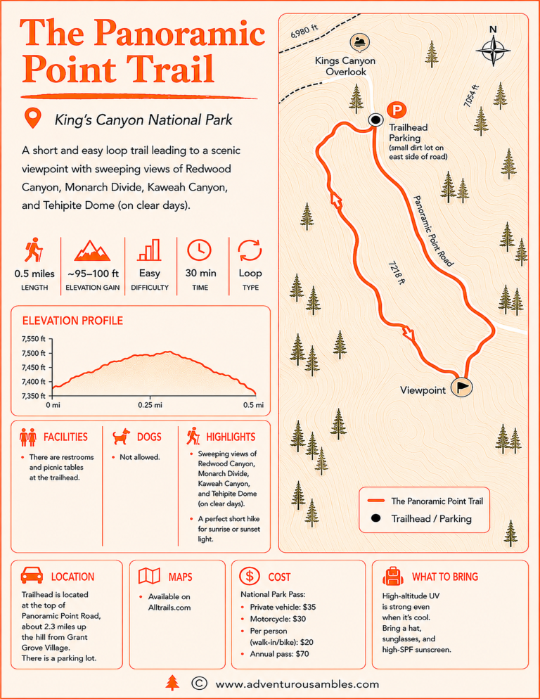
Save this trail map before you go. The Panoramic Point Trail may be only 0.5 miles, but it delivers sweeping views of Redwood Canyon, Monarch Divide, Kaweah Canyon, and even Tehipite Dome on clear days. This quick, family-friendly loop is one of Kings Canyon National Park’s best short walks, and this printable guide includes the route map, elevation profile, trail highlights, visitor information, and everything you need to plan your hike.
If you’re craving one of those “big view, minimal effort” moments, the Panoramic Point Overlook in Kings Canyon National Park is an easy yes.
The experience of expansiveness began before I even reached the trail. From Grant Grove Village, I followed winding Panoramic Point Road as it climbed steadily higher into the Sierra. At the top, I parked in the small lot and set out along a short, well-marked path that meandered gently through open forest and around granite outcrops.
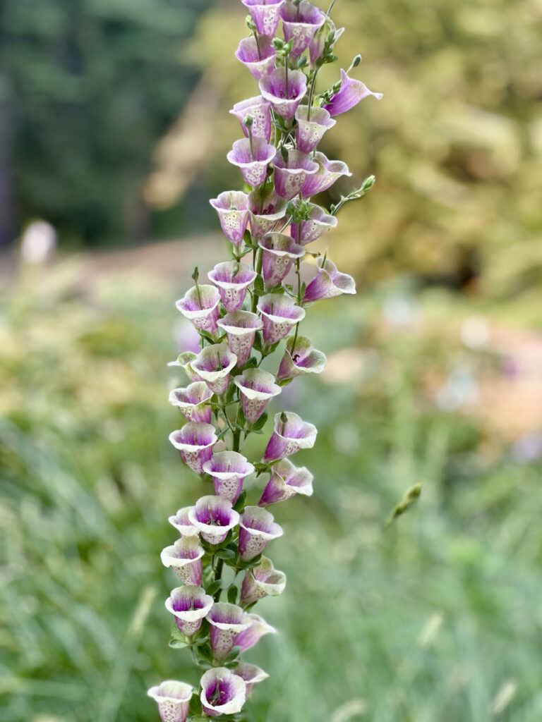
This is the kind of trail where you don’t rush. The air feels a little thinner, a little crisper, and the light filters beautifully through the trees. Along the way, I passed classic Sierra vegetation: towering sugar pines and firs, low-growing manzanita, and delicate wildflowers adding color to the path. During the warmer months, you might even spot striking foxglove, its pink and purple bells rising above the greenery.
After only a few minutes, the trees began to thin and suddenly, the landscape opened before me.
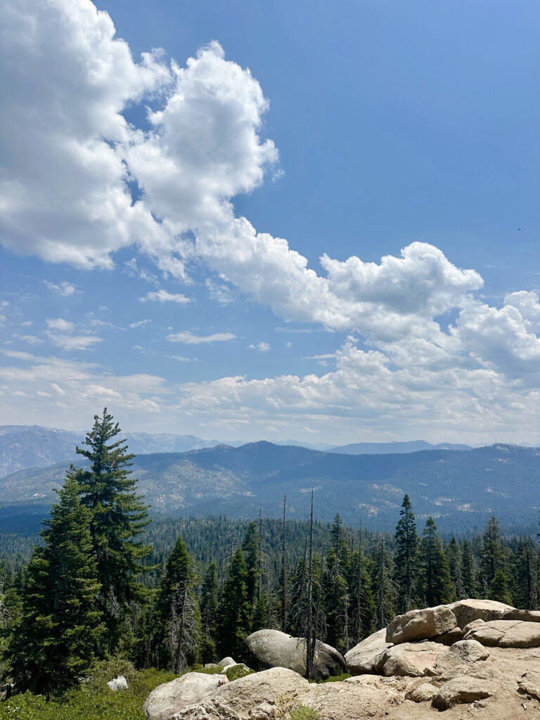
The overlook rests on a broad granite point with a view that seemed almost endless. Layers of the Sierra Nevada stretched toward the horizon, with forested ridgelines fading from deep green to hazy blue in the distance. Far below, I could see Hume Lake tucked among the trees, its calm surface providing a small but striking contrast to the immense wilderness surrounding it.
Beyond the lake, the rugged ridges and valleys of Kings Canyon unfolded in every direction. Standing there gave me a much clearer sense of the landscape’s enormous scale, wide, wonderfully wild, and beautifully uncontained.
It’s the kind of view that makes you pause without even thinking about it. I wandered across the granite for a while, found a quiet place to sit, and simply took everything in. Sometimes the best viewpoints aren’t the ones you have to struggle to reach. They’re the ones that give you enough time and energy to truly enjoy where you are.
What makes Panoramic Point so special is how accessible it is for hikers of all ages and abilities. It’s perfect as a quick stop, a gentle stroll, or even a quiet moment for a picnic between bigger adventures in the park.
If you’re exploring Kings Canyon and want a moment that feels expansive without requiring much effort, this is one of those places that quietly delivers. A short walk, a wide-open sky, and a view that reminds you just how vast and beautiful the Sierra Nevada truly is.
General Grant Tree Trail & North Grove Trail
Quick Trail Notes:
- Length: General Grant is a .5 mile loop, North Grove is a 2 mile loop.
- Elevation Gain: ~300-400 feet
- Difficulty: Easy.
- Time: 2 hours to enjoy both trails.
- Location: Kings Canyon National Park (Grant Grove area), just one mile northwest of the Kings Canyon Visitor Center. The North Point Trail is located just 100 yards away from the main Grant Tree trailhead.
- Parking: Free parking is available at the General Grant Tree Trailhead. Additional parking is available nearby and spaces are large enough to accommodate RVs.
- Facilities: Flush toilets with designated wheelchair-accessible features are located in the General Grant Tree parking lot.
- Water Availability: Potable water fountains are available for filling bottles in the General Grant Tree parking lot.
- Cell Service: Cell reception is limited to nonexistent throughout much of the Grant Grove area. Download maps and other important information before arriving.
- Accessibility: The General Grant Tree Trail is wheelchair accessible, featuring a wide, paved path with gentle grades. The North Grove Trail is not wheelchair accessible.
- Dogs: Pets are not allowed on either trail.
- Maps: Available on Alltrails
- Cost: National Park Entrance fee is required.
- Seasonal Closures: Both trails are generally open year-round, although snow, ice, fallen trees, or winter storms may temporarily affect trail conditions. Tire chains may be required to reach Grant Grove during winter.
- What to Bring: Waterproof hiking shoes or boots with good traction (especially if snow or ice is present), warm layers, gloves, a hat, water, and sunscreen. Even on sunny days, temperatures can be much cooler beneath the giant sequoias.
- Read Along the Route: Walking among towering sequoias on the General Grant Tree Trail and North Grove Trail pairs beautifully with The Overstory and its deep reverence for trees and interconnected forests.
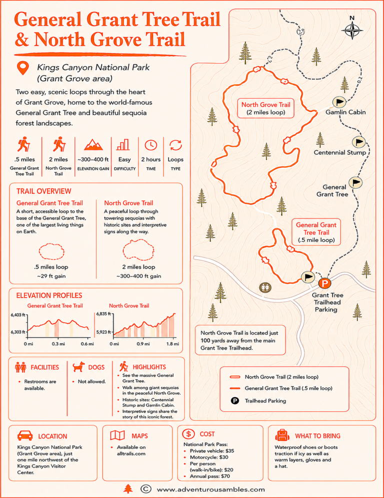
Save this trail map before you go. Explore two of Kings Canyon National Park’s most rewarding easy hikes with one printable guide. Follow the famous General Grant Tree Trail to one of the world’s largest living trees, then continue onto the quieter North Grove Trail to discover giant sequoias, historic landmarks, and peaceful forest paths. This map includes the trail routes, elevation profiles, highlights, visitor information, and everything you need for a memorable walk through Grant Grove.
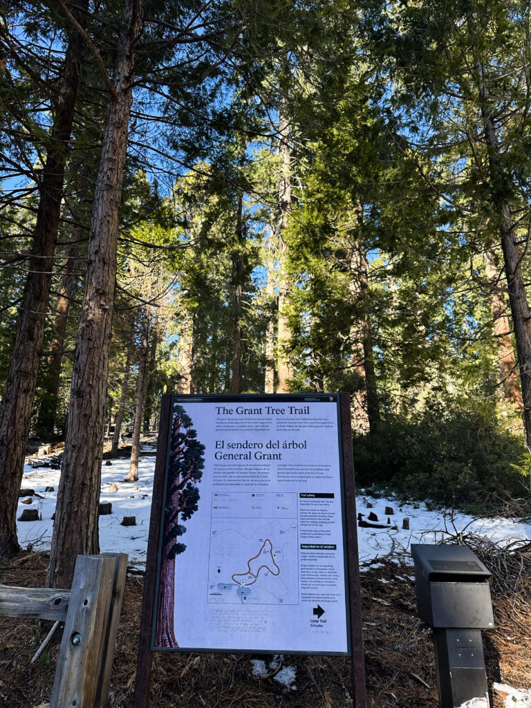
If you’re looking for a walk that feels both awe-inspiring and quietly reflective, the General Grant Tree Trail combined with the North Grove Trail in Kings Canyon National Park is something special, especially on a snowy day.
Snow has a way of softening everything beneath the sequoias. The forest sounds became muted, my footsteps felt quieter, and the entire grove seemed to be holding its breath.
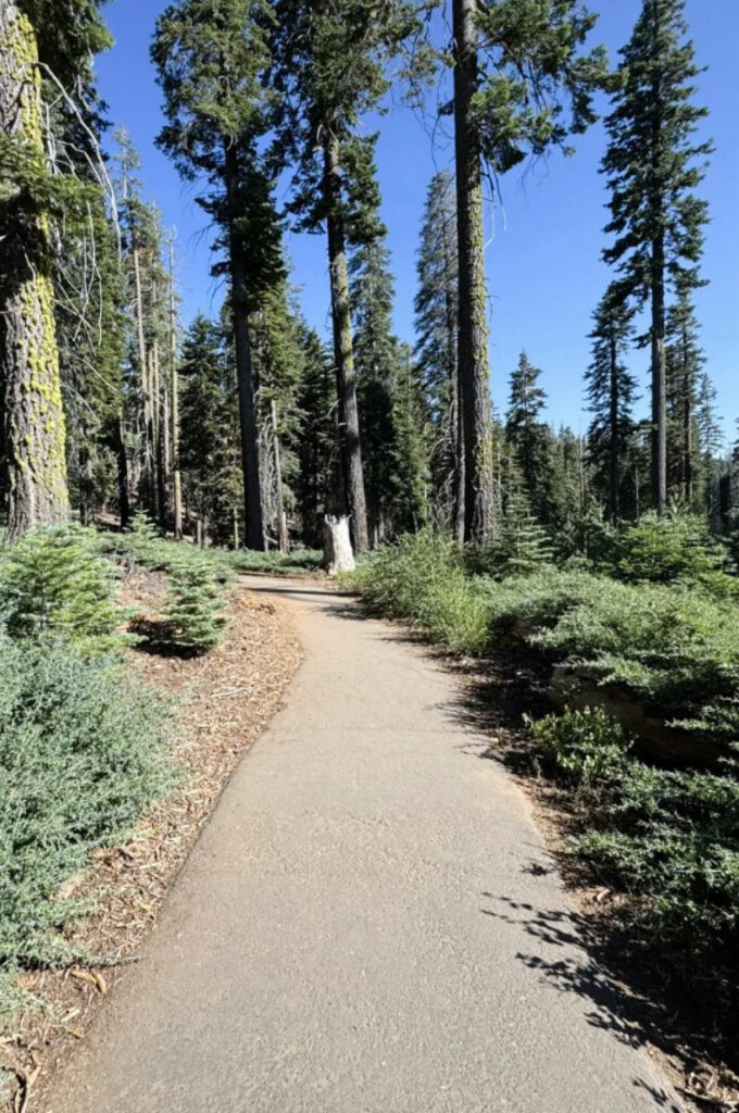
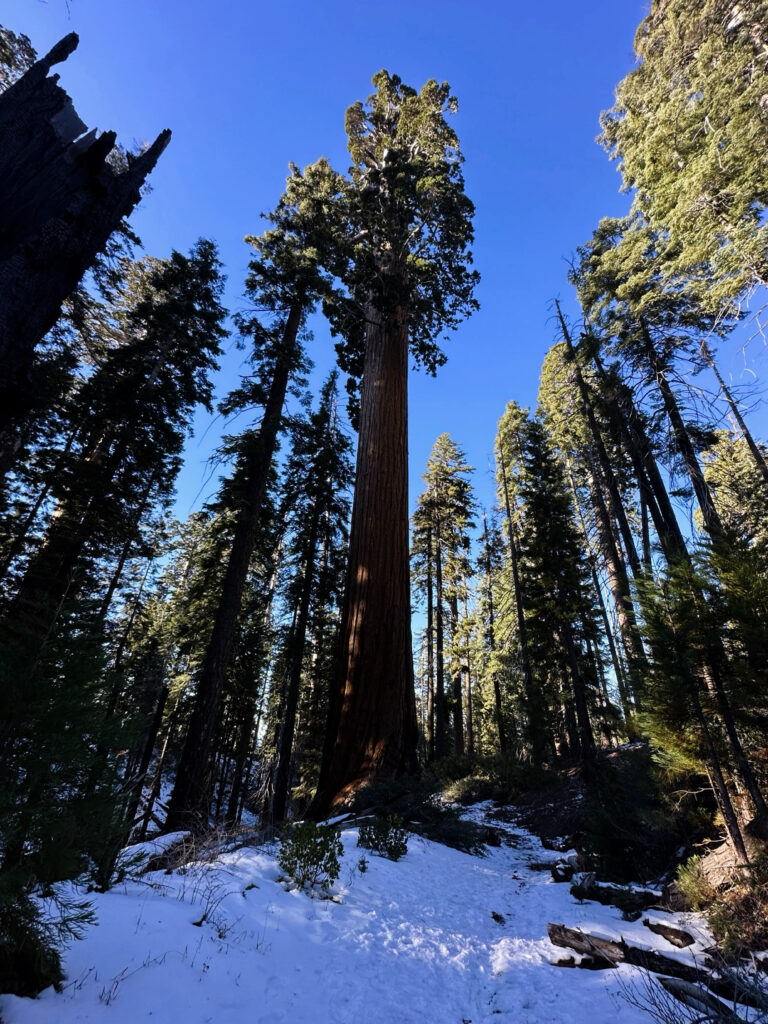
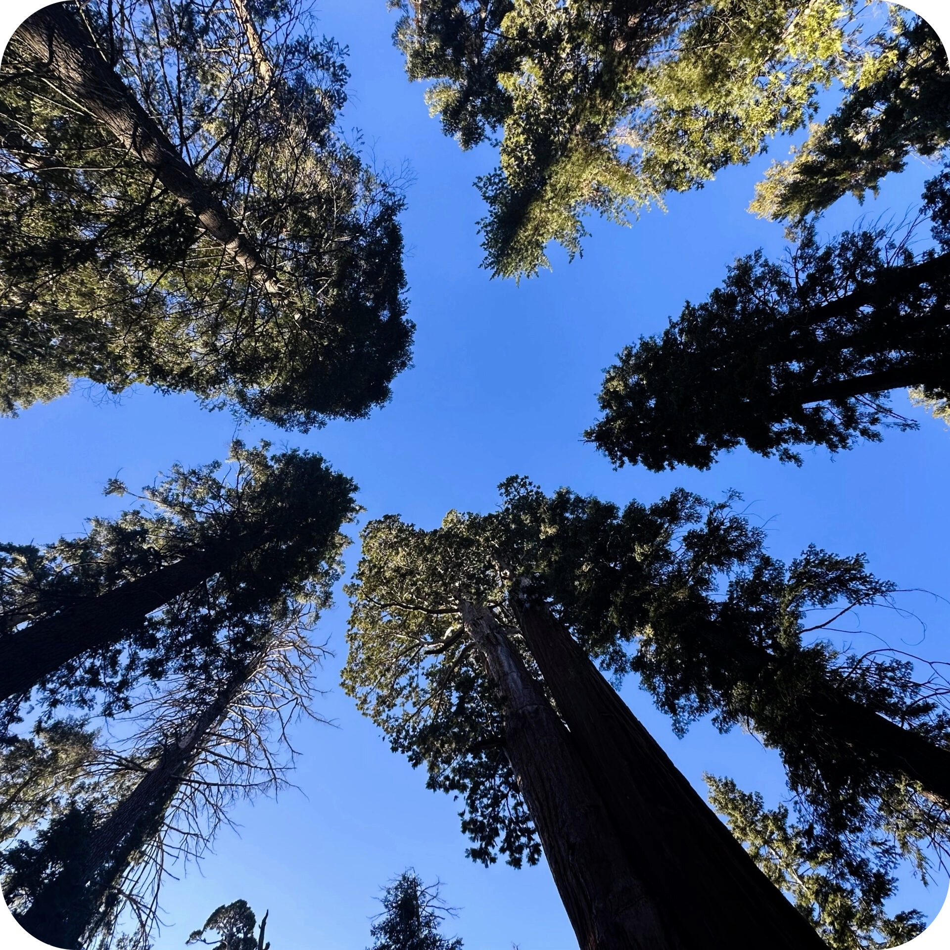
I began near Grant Grove, following a paved path into the heart of the forest. Almost immediately, I was surrounded by giants. Towering sequoias rose impossibly high above me, their warm, reddish bark glowing against the crisp white snow and deep green pines.
Then I reached the centerpiece of the grove.
The General Grant Tree stood in quiet grandeur before me. Known as the Nation’s Christmas Tree, it felt particularly magical in winter, with snow gathered around its base and dusting the surrounding forest. Standing beneath it, I couldn’t help but tilt my head farther and farther back, trying to take in its extraordinary height.
Yet it wasn’t only the size of the trees that made this walk meaningful. The stories along the trail gave the forest an added sense of depth.
The Centennial Stump was one of the places to stop and reflect. All that remains of the enormous tree is a broad, flat-topped base, once used as a platform for gatherings after the tree was cut down in the late 1800s. Standing there among so many living giants, I was reminded of how dramatically our relationship with these trees has changed over time.
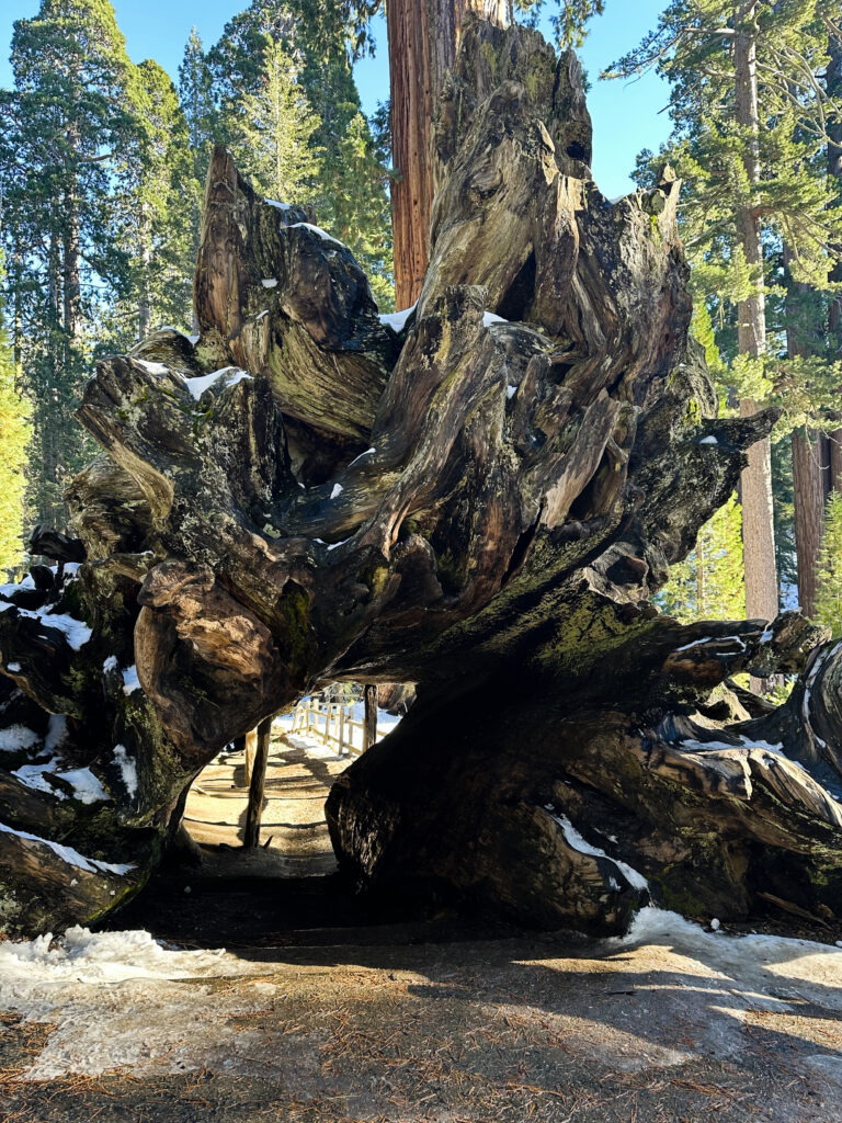
Farther along, I reached the Fallen Monarch, an enormous sequoia resting across the forest floor. Its hollow interior forms a natural tunnel large enough to walk through. Stepping inside was both playful and surreal. The tree’s curved, dark interior provides a different appreciation for its immense scale.
Then I came to Gamlin Cabin, a small log structure tucked quietly among the trees. Built in 1872, it once served as a home for early settlers in the area. As I stood beside it, I tried to imagine daily life, the isolation, the harsh winters, and the experience of living beneath these same towering sequoias. The cabin added a human story to a landscape that otherwise felt timeless.
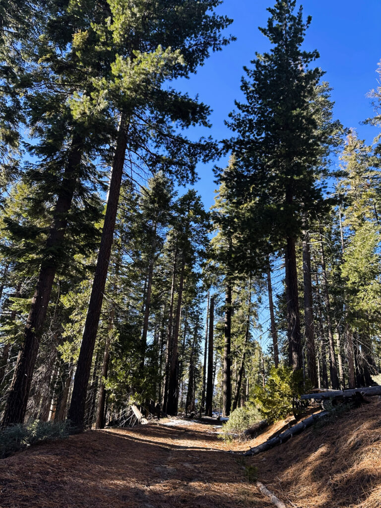
Continuing onto the North Grove Trail brought a noticeable change in atmosphere. The crowds thinned, the paved path gave way to a more natural trail, and the forest felt increasingly peaceful, ancient, and alive.
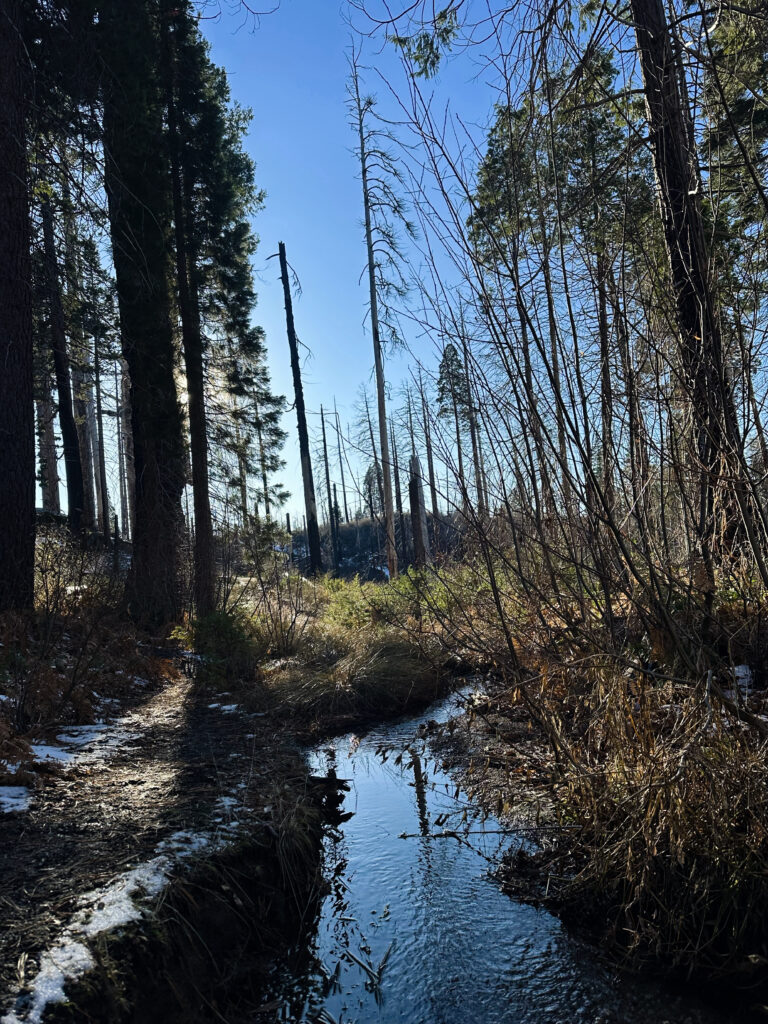
I passed fallen giants and snow-covered trunks while sunlight filtered through the canopy in soft, cinematic beams. A small creek followed portions of the trail, partially frozen and reflecting the trees above. Everywhere I looked, I noticed contrasts: growth and decay, movement and stillness, resilience and fragility.
This wasn’t a hike measured by distance or elevation. For me, it was about being fully present and standing among trees much older and larger than myself, allowing that perspective to settle in.
If I could offer one piece of advice for visiting in winter, it would be to take your time. Between the snow, the silence, and the towering sequoias, this walk felt less like an ordinary hike and more like stepping into another world.
Written by Jacqueline Miller, founder of Adventurous Ambles. Through firsthand travel, original photography, and detailed route research, Jacqueline creates walking guides, hiking resources, destination reading lists, and travel inspiration for curious travelers. Unless otherwise noted, all content and photography on Adventurous Ambles are original works protected by copyright.
More Adventurous Ambles in King's Canyon and Sequoia National Parks
Planning the perfect
Sierra escape starts here
King's Canyon and Sequoia
National Parks Region
The ultimate reading list for California’s giant forests
King's Canyon and Sequoia National
Parks Reading List
Hidden history and mountain
views around Hume Lake
Hume Lake Loop Trail